
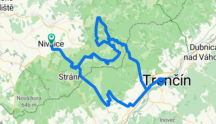
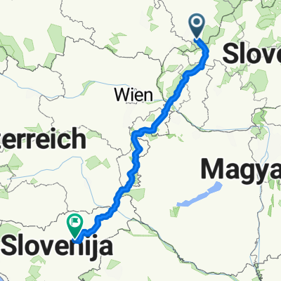
Trenčín přes Zemianske Podhradie, Bojkovice a Vyškovec z Nivnice
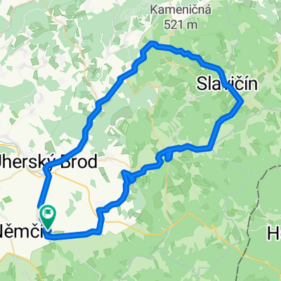
A cycling route starting in Nivnice, Zlín, Czechia.
Overview
About this route
The more information you write here, the more useful it will be for other users.* Route progression.* What is special about this route?* Why recommend this route?* What did you like most about it here?* Etc.
- -:--
- Duration
- 126.6 km
- Distance
- 1,902 m
- Ascent
- 1,631 m
- Descent
- ---
- Avg. speed
- 662 m
- Max. altitude
Route quality
Waytypes & surfaces along the route
Waytypes
Road
70.9 km
(56 %)
Quiet road
13.9 km
(11 %)
Surfaces
Paved
58.2 km
(46 %)
Unpaved
2.5 km
(2 %)
Asphalt
57 km
(45 %)
Concrete
1.3 km
(1 %)
Continue with Bikemap
Use, edit, or download this cycling route
You would like to ride Trenčín přes Zemianske Podhradie, Bojkovice a Vyškovec z Nivnice or customize it for your own trip? Here is what you can do with this Bikemap route:
Free features
- Save this route as favorite or in collections
- Copy & plan your own version of this route
- Split it into stages to create a multi-day tour
- Sync your route with Garmin or Wahoo
Premium features
Free trial for 3 days, or one-time payment. More about Bikemap Premium.
- Navigate this route on iOS & Android
- Export a GPX / KML file of this route
- Create your custom printout (try it for free)
- Download this route for offline navigation
Discover more Premium features.
Get Bikemap PremiumFrom our community
Other popular routes starting in Nivnice
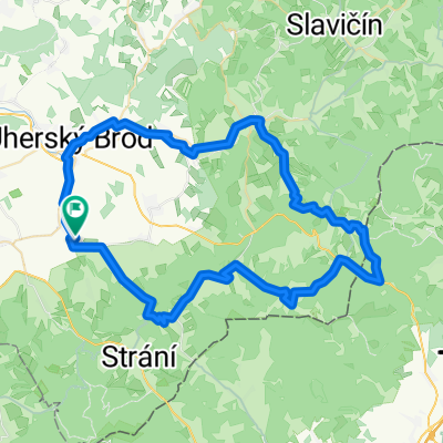 Sraz 2015 čtvrtek dlouhá
- Distance
- 68.7 km
- Ascent
- 1,008 m
- Descent
- 1,001 m
- Location
- Nivnice, Zlín, Czechia
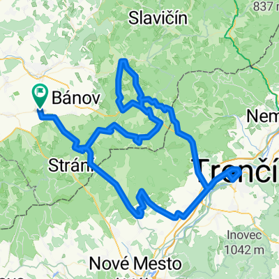 Trenčín přes Zemianske Podhradie, Bojkovice a Vyškovec z Nivnice
- Distance
- 126.6 km
- Ascent
- 1,902 m
- Descent
- 1,631 m
- Location
- Nivnice, Zlín, Czechia
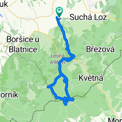
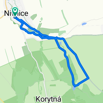 Nivnice - Pionyrak a na Kopec
- Distance
- 10.8 km
- Ascent
- 165 m
- Descent
- 164 m
- Location
- Nivnice, Zlín, Czechia
 TURA 2020 NAZAJ BREZ HU
- Distance
- 501.8 km
- Ascent
- 1,749 m
- Descent
- 1,747 m
- Location
- Nivnice, Zlín, Czechia
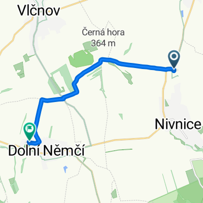 Cesta do práce
- Distance
- 7.2 km
- Ascent
- 143 m
- Descent
- 97 m
- Location
- Nivnice, Zlín, Czechia
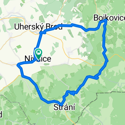 Vysoký vrch přes Bojkovice a Slavkov z Nivnice
- Distance
- 56.6 km
- Ascent
- 1,006 m
- Descent
- 979 m
- Location
- Nivnice, Zlín, Czechia
 z Nivnic na Velkou Javorinu
- Distance
- 44.3 km
- Ascent
- 974 m
- Descent
- 976 m
- Location
- Nivnice, Zlín, Czechia
 Nivnice,Bojkovice,Slavičín,Luhačovice,Uh.Brod,Nivnice
- Distance
- 66.3 km
- Ascent
- 524 m
- Descent
- 525 m
- Location
- Nivnice, Zlín, Czechia
Open it in the app