Borsodi várak bringával 2016 1. Miskolc - Boldogkő
- 56.3 km
- 306 m
- 412 m
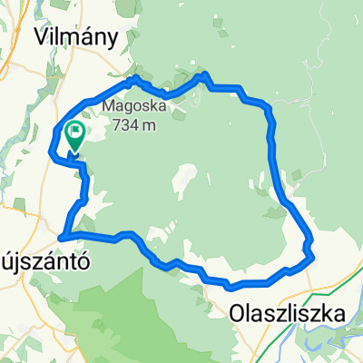
- Abaújszántó, Borsod-Abauj Zemplen county, Hungary
A cycling route starting in Abaújszántó, Borsod-Abauj Zemplen county, Hungary.
Overview
Kellemes túra, helyenként borzalmas útviszonyokkal, de az Újhuta-Kőkapu közötti tájvédelmis út miatt megéri a szenvedés.
created this 9 years ago
Route quality
Quiet road
16.3 km
(17 %)
Track
6.7 km
(7 %)
Paved
34.6 km
(36 %)
Asphalt
34.6 km
(36 %)
Undefined
61.5 km
(64 %)
Continue with Bikemap
You would like to ride Boldogkő-Kőkapu-Gönc-Boldogkő or customize it for your own trip? Here is what you can do with this Bikemap route:
Free trial for 3 days, or one-time payment. More about Bikemap Premium.
Discover more Premium features.
Get Bikemap PremiumFrom our community
Open it in the app