Robb's Ride 2010 Day 1
A cycling route starting in Grand Forks, British Columbia, Canada.
Overview
About this route
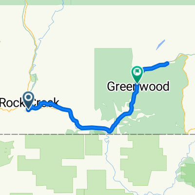
Day 1 Robb's Ride 2010, Grand Forks To Osoyoos via Washington State.
Cross border at Danville, Down to Curlew, Chesaw,Oroville and then north To Osoyoos.
Passport required
first point: Border crossing
second point: first sprint
third point: second sprint
fourth point: third sprint
fifth point: border crossing
- -:--
- Duration
- 117.1 km
- Distance
- 1,611 m
- Ascent
- 1,842 m
- Descent
- ---
- Avg. speed
- 1,249 m
- Avg. speed
Route quality
Waytypes & surfaces along the route
Waytypes
Road
80.7 km
(69 %)
Busy road
17.4 km
(15 %)
Surfaces
Paved
97.1 km
(83 %)
Unpaved
0.8 km
(<1 %)
Asphalt
80.4 km
(69 %)
Paved (undefined)
16.7 km
(14 %)
Continue with Bikemap
Use, edit, or download this cycling route
You would like to ride Robb's Ride 2010 Day 1 or customize it for your own trip? Here is what you can do with this Bikemap route:
Free features
- Save this route as favorite or in collections
- Copy & plan your own version of this route
- Sync your route with Garmin or Wahoo
Premium features
Free trial for 3 days, or one-time payment. More about Bikemap Premium.
- Navigate this route on iOS & Android
- Export a GPX / KML file of this route
- Create your custom printout (try it for free)
- Download this route for offline navigation
Discover more Premium features.
Get Bikemap PremiumFrom our community
Other popular routes starting in Grand Forks
- TCT Sectional/ Christina Lake to Castlegar
- Distance
- 85.9 km
- Ascent
- 822 m
- Descent
- 894 m
- Location
- Grand Forks, British Columbia, Canada
- TCT West Kootenay Regional Route
- Distance
- 288.8 km
- Ascent
- 1,885 m
- Descent
- 1,851 m
- Location
- Grand Forks, British Columbia, Canada
- Christina lake to Nelson
- Distance
- 125.9 km
- Ascent
- 1,444 m
- Descent
- 1,332 m
- Location
- Grand Forks, British Columbia, Canada
- North Fork w/Brown Creek
- Distance
- 44 km
- Ascent
- 285 m
- Descent
- 285 m
- Location
- Grand Forks, British Columbia, Canada
- Water Spout (flat/flat)
- Distance
- 72.7 km
- Ascent
- 591 m
- Descent
- 573 m
- Location
- Grand Forks, British Columbia, Canada
- Christina Lake w/McCrae Creek
- Distance
- 65.3 km
- Ascent
- 456 m
- Descent
- 454 m
- Location
- Grand Forks, British Columbia, Canada
- Robb's Ride 2010 Day 1
- Distance
- 117.1 km
- Ascent
- 1,611 m
- Descent
- 1,842 m
- Location
- Grand Forks, British Columbia, Canada
- Grand Forks - Circle to the North
- Distance
- 36.2 km
- Ascent
- 402 m
- Descent
- 396 m
- Location
- Grand Forks, British Columbia, Canada
Open it in the app