monteduro
A cycling route starting in Puianello, Emilia-Romagna, Italy.
Overview
About this route
.............
- -:--
- Duration
- 38.7 km
- Distance
- 1,256 m
- Ascent
- 1,256 m
- Descent
- ---
- Avg. speed
- ---
- Avg. speed
Continue with Bikemap
Use, edit, or download this cycling route
You would like to ride monteduro or customize it for your own trip? Here is what you can do with this Bikemap route:
Free features
- Save this route as favorite or in collections
- Copy & plan your own version of this route
- Sync your route with Garmin or Wahoo
Premium features
Free trial for 3 days, or one-time payment. More about Bikemap Premium.
- Navigate this route on iOS & Android
- Export a GPX / KML file of this route
- Create your custom printout (try it for free)
- Download this route for offline navigation
Discover more Premium features.
Get Bikemap PremiumFrom our community
Other popular routes starting in Puianello
- Canossa
- Distance
- 37.9 km
- Ascent
- 949 m
- Descent
- 949 m
- Location
- Puianello, Emilia-Romagna, Italy
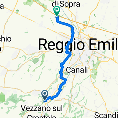
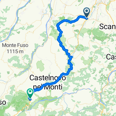
- bike tour through Albinea
- Distance
- 19.7 km
- Ascent
- 445 m
- Descent
- 445 m
- Location
- Puianello, Emilia-Romagna, Italy
- Terre di Canossa
- Distance
- 51.7 km
- Ascent
- 958 m
- Descent
- 958 m
- Location
- Puianello, Emilia-Romagna, Italy
- Puianello Scalucchia Puianello
- Distance
- 138.1 km
- Ascent
- 1,769 m
- Descent
- 1,770 m
- Location
- Puianello, Emilia-Romagna, Italy
- monteduro
- Distance
- 38.7 km
- Ascent
- 1,256 m
- Descent
- 1,256 m
- Location
- Puianello, Emilia-Romagna, Italy
- costa+enza
- Distance
- 45.8 km
- Ascent
- 828 m
- Descent
- 828 m
- Location
- Puianello, Emilia-Romagna, Italy
- Puianello castello Canossa Puianello
- Distance
- 33.9 km
- Ascent
- 470 m
- Descent
- 470 m
- Location
- Puianello, Emilia-Romagna, Italy
- Ride To Montalto
- Distance
- 28 km
- Ascent
- 687 m
- Descent
- 687 m
- Location
- Puianello, Emilia-Romagna, Italy
Open it in the app