

Thusis - Dervio
A cycling route starting in Thusis, Grisons, Switzerland.
Overview
About this route
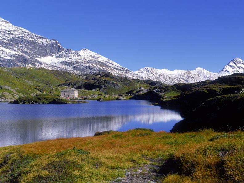
....durch die Via Mala, Fahrt auf überwiegend guten Strassen, ab Splügen in die 1. Hälfte der Serpentienen hinauf zur Sonnenterasse unterhalb der schon in greifbarer Nähe befindlichen Passstrecke.
Wichtig: Montespluga, Hotel Post, Exspresso!
1740 m, 103 km
- -:--
- Duration
- 103.3 km
- Distance
- 1,441 m
- Ascent
- 1,941 m
- Descent
- ---
- Avg. speed
- ---
- Max. altitude

Continue with Bikemap
Use, edit, or download this cycling route
You would like to ride Thusis - Dervio or customize it for your own trip? Here is what you can do with this Bikemap route:
Free features
- Save this route as favorite or in collections
- Copy & plan your own version of this route
- Split it into stages to create a multi-day tour
- Sync your route with Garmin or Wahoo
Premium features
Free trial for 3 days, or one-time payment. More about Bikemap Premium.
- Navigate this route on iOS & Android
- Export a GPX / KML file of this route
- Create your custom printout (try it for free)
- Download this route for offline navigation
Discover more Premium features.
Get Bikemap PremiumFrom our community
Other popular routes starting in Thusis
 3 Pässe, Albula, Maloja, Splügen
- Distance
- 172.1 km
- Ascent
- 6,572 m
- Descent
- 6,579 m
- Location
- Thusis, Grisons, Switzerland
 TdL 3. Etappe
- Distance
- 130.2 km
- Ascent
- 1,251 m
- Descent
- 2,023 m
- Location
- Thusis, Grisons, Switzerland
 ch12 Thusis - Felsberg - Bonaduz
- Distance
- 32.1 km
- Ascent
- 440 m
- Descent
- 472 m
- Location
- Thusis, Grisons, Switzerland
 Thusis to San Bernardino
- Distance
- 53.4 km
- Ascent
- 2,304 m
- Descent
- 1,412 m
- Location
- Thusis, Grisons, Switzerland
 Bergtour Beverin
- Distance
- 30.8 km
- Ascent
- 1,008 m
- Descent
- 1,008 m
- Location
- Thusis, Grisons, Switzerland
 Glaspass - SafienPlatz - Tomülpass - Vals - Illanz
- Distance
- 46.7 km
- Ascent
- 1,113 m
- Descent
- 2,258 m
- Location
- Thusis, Grisons, Switzerland
 Route in Thusis
- Distance
- 41 km
- Ascent
- 591 m
- Descent
- 590 m
- Location
- Thusis, Grisons, Switzerland
 Splügen-, Maloja- und Julierpass
- Distance
- 165.5 km
- Ascent
- 3,517 m
- Descent
- 3,519 m
- Location
- Thusis, Grisons, Switzerland
Open it in the app