

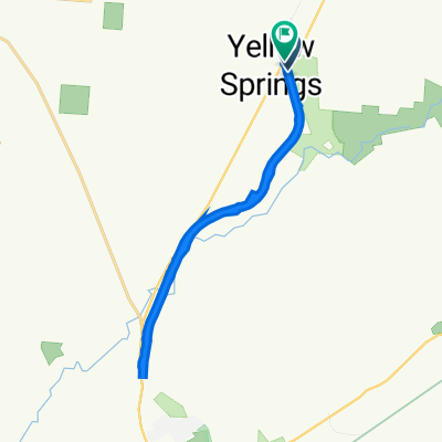
Yellow Springs Covered Bridge Ride
A cycling route starting in Yellow Springs, Ohio, United States.
Overview
About this route
Was supposed to be 7.6 miles and 40 minutes. Ended up missing a turn and riding this in 1:20.
- -:--
- Duration
- 20.3 km
- Distance
- 159 m
- Ascent
- 159 m
- Descent
- ---
- Avg. speed
- ---
- Max. altitude
Route quality
Waytypes & surfaces along the route
Waytypes
Quiet road
9.2 km
(45 %)
Road
3.9 km
(19 %)
Surfaces
Paved
5.4 km
(27 %)
Asphalt
5.4 km
(27 %)
Undefined
14.9 km
(73 %)
Continue with Bikemap
Use, edit, or download this cycling route
You would like to ride Yellow Springs Covered Bridge Ride or customize it for your own trip? Here is what you can do with this Bikemap route:
Free features
- Save this route as favorite or in collections
- Copy & plan your own version of this route
- Sync your route with Garmin or Wahoo
Premium features
Free trial for 3 days, or one-time payment. More about Bikemap Premium.
- Navigate this route on iOS & Android
- Export a GPX / KML file of this route
- Create your custom printout (try it for free)
- Download this route for offline navigation
Discover more Premium features.
Get Bikemap PremiumFrom our community
Other popular routes starting in Yellow Springs
 102 Dayton St, Yellow Springs to 4650 Creek Rd, Blue Ash
- Distance
- 94.8 km
- Ascent
- 435 m
- Descent
- 478 m
- Location
- Yellow Springs, Ohio, United States
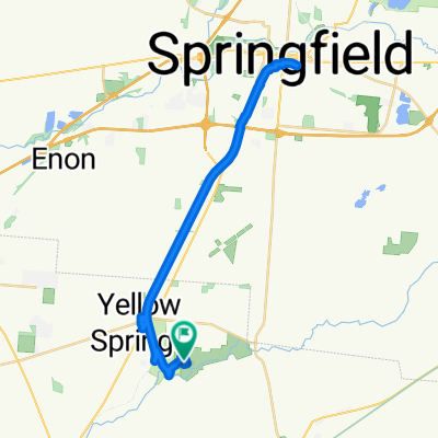
 North Little Miami Trail
- Distance
- 27.1 km
- Ascent
- 123 m
- Descent
- 117 m
- Location
- Yellow Springs, Ohio, United States
 6840 Mosier Rd, Yellow Springs to 6840 Mosier Rd, Yellow Springs
- Distance
- 35.7 km
- Ascent
- 347 m
- Descent
- 142 m
- Location
- Yellow Springs, Ohio, United States
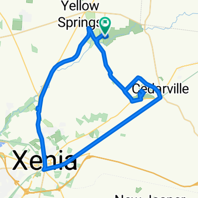
 Yellow Springs to Xenia and back
- Distance
- 24.7 km
- Ascent
- 604 m
- Descent
- 604 m
- Location
- Yellow Springs, Ohio, United States
 301–333 Corry St, Yellow Springs to 107 Xenia Ave, Yellow Springs
- Distance
- 22.6 km
- Ascent
- 91 m
- Descent
- 93 m
- Location
- Yellow Springs, Ohio, United States
 SR-370, Yellow Springs to Yellow Springs
- Distance
- 44.4 km
- Ascent
- 228 m
- Descent
- 229 m
- Location
- Yellow Springs, Ohio, United States
 Dayton/Yellow Springs
- Distance
- 36.3 km
- Ascent
- 83 m
- Descent
- 126 m
- Location
- Yellow Springs, Ohio, United States
 SR-370, Yellow Springs to Bryan Park Rd, Yellow Springs
- Distance
- 50.7 km
- Ascent
- 357 m
- Descent
- 358 m
- Location
- Yellow Springs, Ohio, United States
Open it in the app