

LOOP Orario
A cycling route starting in Rome, Lazio, Italy.
Overview
About this route
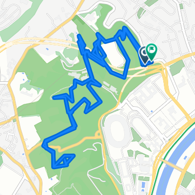
The ride starts from the Fungo dell'EUR towards Ostia, then proceeds to Palidoro and onwards to Lake Bracciano. Afterwards, it returns via North Rome, following the road to Labaro and then the northern cycle path.
- -:--
- Duration
- 150.1 km
- Distance
- 517 m
- Ascent
- 516 m
- Descent
- ---
- Avg. speed
- ---
- Max. altitude

Route quality
Waytypes & surfaces along the route
Waytypes
Road
66.1 km
(44 %)
Cycleway
36 km
(24 %)
Surfaces
Paved
127.6 km
(85 %)
Unpaved
1.5 km
(1 %)
Asphalt
112.6 km
(75 %)
Paved (undefined)
13.5 km
(9 %)
Continue with Bikemap
Use, edit, or download this cycling route
You would like to ride LOOP Orario or customize it for your own trip? Here is what you can do with this Bikemap route:
Free features
- Save this route as favorite or in collections
- Copy & plan your own version of this route
- Split it into stages to create a multi-day tour
- Sync your route with Garmin or Wahoo
Premium features
Free trial for 3 days, or one-time payment. More about Bikemap Premium.
- Navigate this route on iOS & Android
- Export a GPX / KML file of this route
- Create your custom printout (try it for free)
- Download this route for offline navigation
Discover more Premium features.
Get Bikemap PremiumFrom our community
Other popular routes starting in Rome
 Parchi di Roma
- Distance
- 43 km
- Ascent
- 747 m
- Descent
- 747 m
- Location
- Rome, Lazio, Italy
 Villa Pamphili East
- Distance
- 3.3 km
- Ascent
- 75 m
- Descent
- 78 m
- Location
- Rome, Lazio, Italy
 Roma - Bracciano - Tolfa - Ladispoli - Roma
- Distance
- 174.3 km
- Ascent
- 979 m
- Descent
- 976 m
- Location
- Rome, Lazio, Italy
 Vaticano - Stazione Tiburtina
- Distance
- 10.8 km
- Ascent
- 119 m
- Descent
- 124 m
- Location
- Rome, Lazio, Italy
 Percorsi Monte Mario
- Distance
- 9.3 km
- Ascent
- 272 m
- Descent
- 289 m
- Location
- Rome, Lazio, Italy
 St. Francesco's Way
- Distance
- 177.7 km
- Ascent
- 1,518 m
- Descent
- 1,157 m
- Location
- Rome, Lazio, Italy
 VILLE ROMANE E ROMA GARIBALDINA
- Distance
- 18.2 km
- Ascent
- 221 m
- Descent
- 209 m
- Location
- Rome, Lazio, Italy
 Anello Roma Sud Est
- Distance
- 28.2 km
- Ascent
- 140 m
- Descent
- 140 m
- Location
- Rome, Lazio, Italy
Open it in the app