

München (City-Parktour 2)
A cycling route starting in Unterföhring, Bavaria, Germany.
Overview
About this route
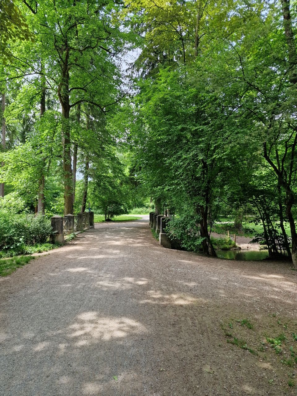
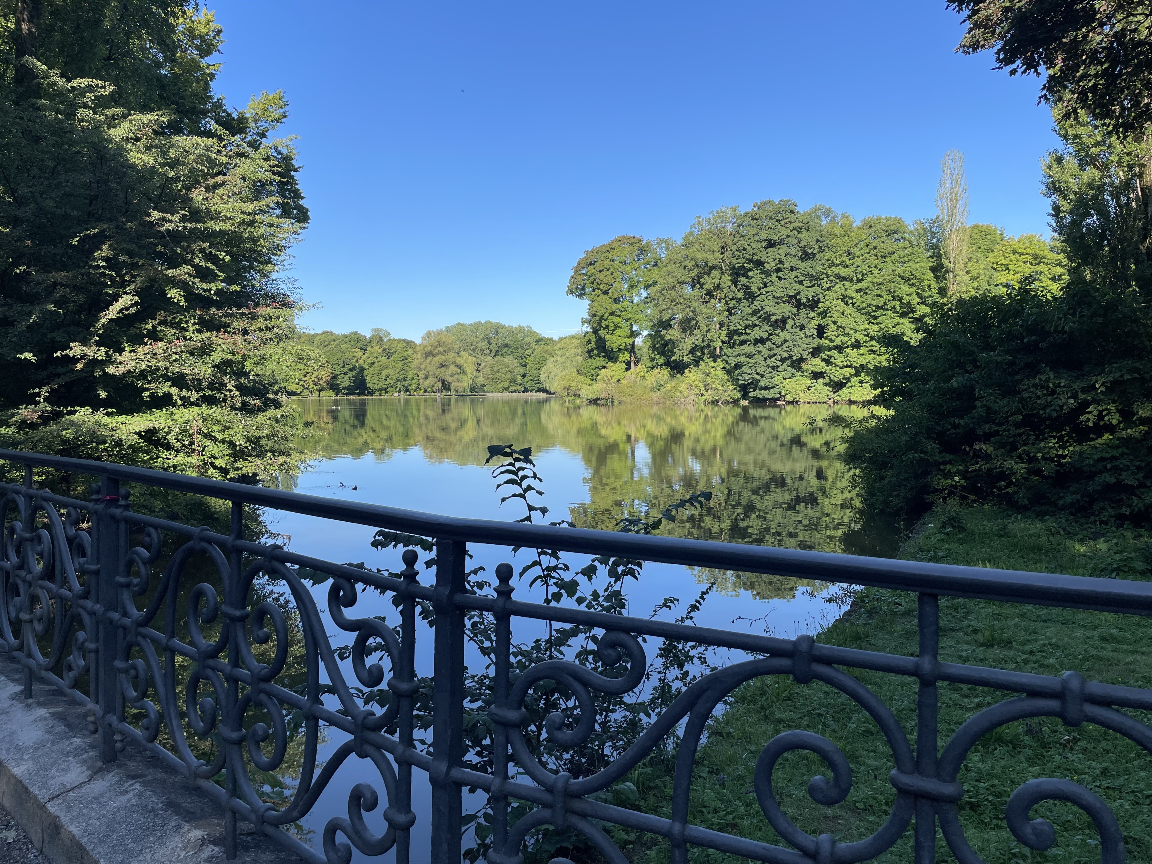
Die Tour beginnt beim Bayerischen Rundfunk in Freimann und führt am Schwabinger Bach und Nordfriedhof zum Olympiagelände. Von dort geht es in Richtung Nymphenburger Schloß bis zur Würm. In südlicher Richtung immer an der Würm entlang geht es nach der Überquerung der Lindauer Autobahn bis zum Westpark. Von dort über die Theresienwiese, Innenstadt bis an die Isar und zurück zum Ausgangspunkt in Freimann. Es gibt natürlich unzählige Varianten, die man ausprobieren kann um die Runde zu optimieren. Die einzige nennenswerte Erhebung ist der Olympiaberg, der auch in der grafischen Darstellung der Runde auffällt. (Die Route wurde mit der Android App "GEO-Tracker" aufgezeichnet und als GPX-Datei importiert)
- -:--
- Duration
- 46.2 km
- Distance
- 76 m
- Ascent
- 77 m
- Descent
- ---
- Avg. speed
- ---
- Max. altitude

Continue with Bikemap
Use, edit, or download this cycling route
You would like to ride München (City-Parktour 2) or customize it for your own trip? Here is what you can do with this Bikemap route:
Free features
- Save this route as favorite or in collections
- Copy & plan your own version of this route
- Sync your route with Garmin or Wahoo
Premium features
Free trial for 3 days, or one-time payment. More about Bikemap Premium.
- Navigate this route on iOS & Android
- Export a GPX / KML file of this route
- Create your custom printout (try it for free)
- Download this route for offline navigation
Discover more Premium features.
Get Bikemap PremiumFrom our community
Other popular routes starting in Unterföhring
 Unterföhring - Aschheim - Kirchheim - Fischweiher - Ismaning - Garching - Freimann - Unterföhring
- Distance
- 33.8 km
- Ascent
- 35 m
- Descent
- 37 m
- Location
- Unterföhring, Bavaria, Germany
 Von Johanneskirchen nach Moosach
- Distance
- 11.6 km
- Ascent
- 29 m
- Descent
- 38 m
- Location
- Unterföhring, Bavaria, Germany
 Zum Apple Workshop durch den Englischen Garten Tag 1
- Distance
- 9.3 km
- Ascent
- 29 m
- Descent
- 26 m
- Location
- Unterföhring, Bavaria, Germany
 Speichersee Runde
- Distance
- 42.8 km
- Ascent
- 45 m
- Descent
- 57 m
- Location
- Unterföhring, Bavaria, Germany
 Isarradweg
- Distance
- 19.6 km
- Ascent
- 63 m
- Descent
- 113 m
- Location
- Unterföhring, Bavaria, Germany
 21.04.
- Distance
- 56.1 km
- Ascent
- 79 m
- Descent
- 82 m
- Location
- Unterföhring, Bavaria, Germany
 kleine runde johnneskirchen
- Distance
- 21.9 km
- Ascent
- 47 m
- Descent
- 49 m
- Location
- Unterföhring, Bavaria, Germany
 Runde zwischen Erding und Markt Schwaben
- Distance
- 83.4 km
- Ascent
- 233 m
- Descent
- 233 m
- Location
- Unterföhring, Bavaria, Germany
Open it in the app