

Utrera-Laguna Zarracatin-Utrera
A cycling route starting in Utrera, Andalusia, Spain.
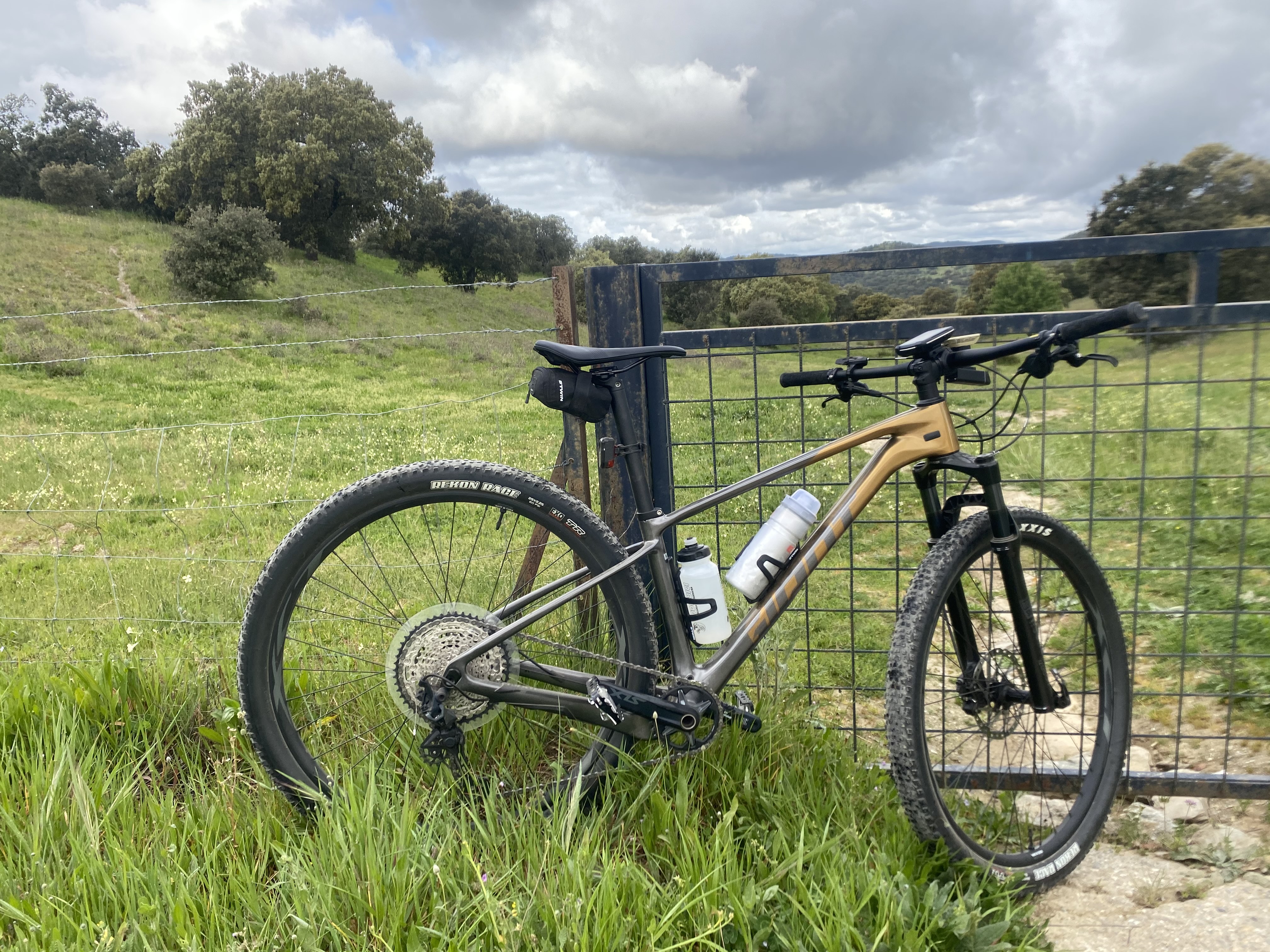
Overview
About this route
Ruta que partiendo de Utrera recorremos la campiña hasta llegar al pantano del Aguila, visitando posterirmente la laguna de Zarracatín. Después atravesamos el pueblo del Palmar de Troyay regresamos a Utrera.Es una ruta que debe realizarse en época seca, ya que de lo contrario encontraremos abundante barro arcilloso que nos impedirá pasar. Es llana en gran parte de su recorrido con varios repechos.
- -:--
- Duration
- 50.1 km
- Distance
- 323 m
- Ascent
- 323 m
- Descent
- ---
- Avg. speed
- ---
- Max. altitude
Continue with Bikemap
Use, edit, or download this cycling route
You would like to ride Utrera-Laguna Zarracatin-Utrera or customize it for your own trip? Here is what you can do with this Bikemap route:
Free features
- Save this route as favorite or in collections
- Copy & plan your own version of this route
- Sync your route with Garmin or Wahoo
Premium features
Free trial for 3 days, or one-time payment. More about Bikemap Premium.
- Navigate this route on iOS & Android
- Export a GPX / KML file of this route
- Create your custom printout (try it for free)
- Download this route for offline navigation
Discover more Premium features.
Get Bikemap PremiumFrom our community
Other popular routes starting in Utrera
 Utrera to Surya (2)
- Distance
- 64.4 km
- Ascent
- 838 m
- Descent
- 733 m
- Location
- Utrera, Andalusia, Spain
 Utrera - Arahal
- Distance
- 49.8 km
- Ascent
- 124 m
- Descent
- 126 m
- Location
- Utrera, Andalusia, Spain
 EL CORONIL - PANTANO T.AGUILA
- Distance
- 43.2 km
- Ascent
- 333 m
- Descent
- 327 m
- Location
- Utrera, Andalusia, Spain
 Utrera to Surya
- Distance
- 64.2 km
- Ascent
- 541 m
- Descent
- 437 m
- Location
- Utrera, Andalusia, Spain
 Utrera-Laguna Zarracatin-Utrera
- Distance
- 50.1 km
- Ascent
- 323 m
- Descent
- 323 m
- Location
- Utrera, Andalusia, Spain
 Ruta corta y larga Utrera
- Distance
- 24.4 km
- Ascent
- 226 m
- Descent
- 226 m
- Location
- Utrera, Andalusia, Spain
 Las Haciendas Cortas
- Distance
- 52.6 km
- Ascent
- 126 m
- Descent
- 112 m
- Location
- Utrera, Andalusia, Spain
 UTRERA - EMBARCADERO DE CORIA
- Distance
- 72.6 km
- Ascent
- 105 m
- Descent
- 103 m
- Location
- Utrera, Andalusia, Spain
Open it in the app