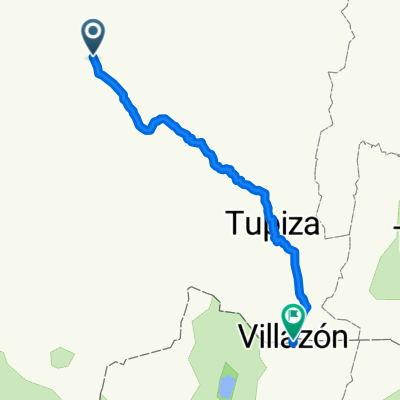
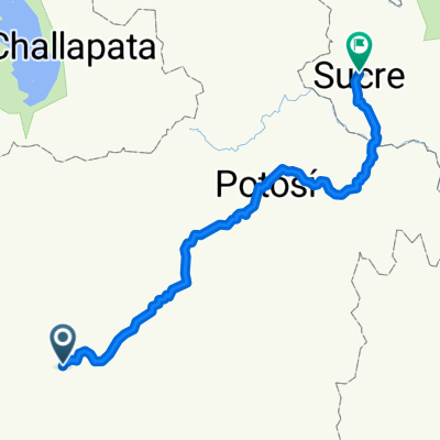
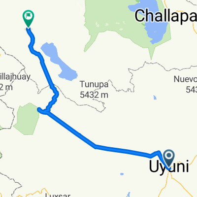
Uyuni-Antofagasta
A cycling route starting in Uyuni, Departamento de PotosÃ, Bolivia.
Overview
About this route
-
Uyuni – Colchani
-
Colchani - Isla Incahuasi
-
Isla Incahusi (salar) – San Juan
-
San Juan – Laguna Canapa (camping)
-
L. Canapa- Hotel del Sal
-
Hotel del Sal – Laguna Colorada
-
Laguna Colorada – Laguna Chaviri
-
Laguna Chaviri – San Pedro de A.
-
San pedro - campamento Andino
-
Campamento Andino - baquedano
Â
Â
Â
- -:--
- Duration
- 886.6 km
- Distance
- 2,466 m
- Ascent
- 6,088 m
- Descent
- ---
- Avg. speed
- ---
- Avg. speed
Route quality
Waytypes & surfaces along the route
Waytypes
Undefined
886.6 km
(100 %)
Surfaces
Undefined
886.6 km
(100 %)
Route highlights
Points of interest along the route
Point of interest after 356 km
Laguna Colorada
Point of interest after 389.9 km
Geyser Sol de la Manana
Point of interest after 411.3 km
Agua termales di Polques
Point of interest after 449.8 km
Laguna Verde
Point of interest after 512.1 km
Valle della Luna
Point of interest after 516.4 km
Laguna Escondidas
Continue with Bikemap
Use, edit, or download this cycling route
You would like to ride Uyuni-Antofagasta or customize it for your own trip? Here is what you can do with this Bikemap route:
Free features
- Save this route as favorite or in collections
- Copy & plan your own version of this route
- Sync your route with Garmin or Wahoo
Premium features
Free trial for 3 days, or one-time payment. More about Bikemap Premium.
- Navigate this route on iOS & Android
- Export a GPX / KML file of this route
- Create your custom printout (try it for free)
- Download this route for offline navigation
Discover more Premium features.
Get Bikemap PremiumFrom our community
Other popular routes starting in Uyuni
- Uyuni-Antofagasta
- Distance
- 885.5 km
- Ascent
- 4,517 m
- Descent
- 8,139 m
- Location
- Uyuni, Departamento de PotosÃ, Bolivia
- Uyuni-Antofagasta
- Distance
- 885.5 km
- Ascent
- 26,190 m
- Descent
- 29,997 m
- Location
- Uyuni, Departamento de PotosÃ, Bolivia
- Uyuni-Tacna
- Distance
- 799 km
- Ascent
- 2,891 m
- Descent
- 6,020 m
- Location
- Uyuni, Departamento de PotosÃ, Bolivia
- laguna route 1uyuni-sanchristbal
- Distance
- 89.3 km
- Ascent
- 155 m
- Descent
- 39 m
- Location
- Uyuni, Departamento de PotosÃ, Bolivia
- Calle Arce - 30
- Distance
- 11.2 km
- Ascent
- 11 m
- Descent
- 13 m
- Location
- Uyuni, Departamento de PotosÃ, Bolivia
- uyuni - tupiza - tajira
- Distance
- 437.6 km
- Ascent
- 3,127 m
- Descent
- 4,929 m
- Location
- Uyuni, Departamento de PotosÃ, Bolivia
- Uyuni - Tica Tica (BOL)
- Distance
- 82.8 km
- Ascent
- 757 m
- Descent
- 817 m
- Location
- Uyuni, Departamento de PotosÃ, Bolivia
- Uyuni-Antofagasta
- Distance
- 886.6 km
- Ascent
- 2,466 m
- Descent
- 6,088 m
- Location
- Uyuni, Departamento de PotosÃ, Bolivia