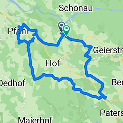
Holzwies nach Holzwies
- 24 km
- 675 m
- 675 m
- Geiersthal, Bavaria, Germany
A cycling route starting in Geiersthal, Bavaria, Germany.
Overview
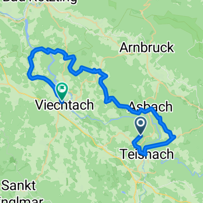
Regental-Radweg
Durch das Regental, einer der wertvollsten Naturräume Bayerns, führt dieser Radweg in Richtung Böhmen. Eindrucksvolle Bergpanoramen begleiten den Radreisenden auf seinem Weg. Der Radweg verläuft auf sehr gut befahrbaren Wegen und zum Teil auch auf einer stillgelegten Bahntrasse. Kulturhistorisch bedeutsame Sehenswürdigkeiten und Naturdenkmäler und hervorragende Anbindungen an Fernradwegenetze verleihen den Regental-Radweg seinen einzigartigen Charakter, wie z.B. die Pfarrkirche St. Martin in Patersorf oder die Burgruine Weißenstein in Regen oder das Zwieslerwaldhaus.
created this 9 years ago
Route quality
Quiet road
29.8 km
(49 %)
Track
14 km
(23 %)
Paved
28.6 km
(47 %)
Unpaved
11.6 km
(19 %)
Asphalt
26.8 km
(44 %)
Gravel
6.7 km
(11 %)
Route highlights
Continue with Bikemap
You would like to ride Regental-Radweg or customize it for your own trip? Here is what you can do with this Bikemap route:
Free trial for 3 days, or one-time payment. More about Bikemap Premium.
Discover more Premium features.
Get Bikemap PremiumFrom our community
Open it in the app