
Overview
About this route
- -:--
- Duration
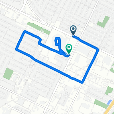
- 47.9 km
- Distance
- 83 m
- Ascent
- 72 m
- Descent
- ---
- Avg. speed
- ---
- Max. altitude
Part of
Bike Trip '17
2 stages
Route quality
Waytypes & surfaces along the route
Waytypes
Quiet road
23.6 km
(49 %)
Road
13.1 km
(27 %)
Surfaces
Paved
19.3 km
(40 %)
Unpaved
4 km
(8 %)
Asphalt
19.2 km
(40 %)
Unpaved (undefined)
4 km
(8 %)
Route highlights
Points of interest along the route
Point of interest after 31.9 km
Mid Vallee lunch stop 20.3 miles
Point of interest after 32.1 km
Vineyard
Continue with Bikemap
Use, edit, or download this cycling route
You would like to ride Bike Trip '17 Day 3 or customize it for your own trip? Here is what you can do with this Bikemap route:
Free features
- Save this route as favorite or in collections
- Copy & plan your own version of this route
- Sync your route with Garmin or Wahoo
Premium features
Free trial for 3 days, or one-time payment. More about Bikemap Premium.
- Navigate this route on iOS & Android
- Export a GPX / KML file of this route
- Create your custom printout (try it for free)
- Download this route for offline navigation
Discover more Premium features.
Get Bikemap PremiumFrom our community
Other popular routes starting in Ashwaubenon
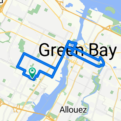
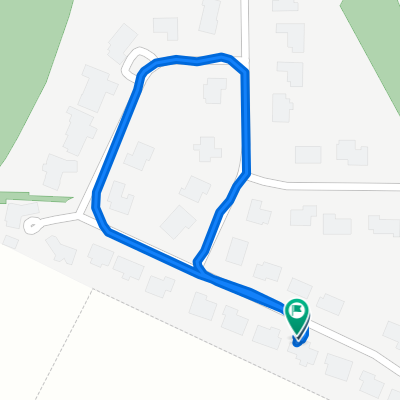 Brief bike tour through Green Bay
- Distance
- 0.8 km
- Ascent
- 10 m
- Descent
- 8 m
- Location
- Ashwaubenon, Wisconsin, United States
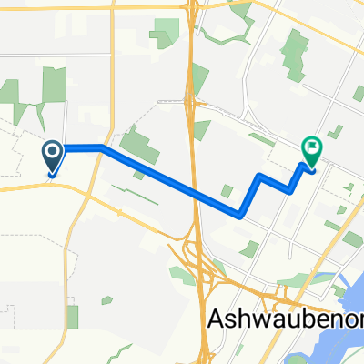
 packerland trail
- Distance
- 5 km
- Ascent
- 17 m
- Descent
- 17 m
- Location
- Ashwaubenon, Wisconsin, United States
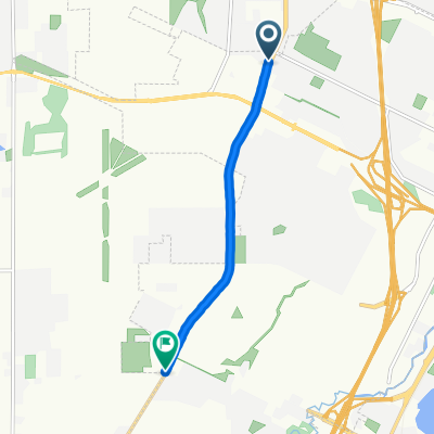
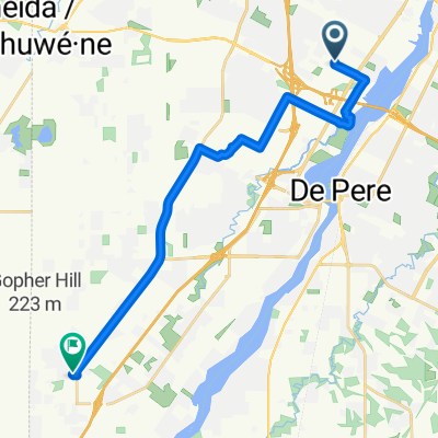
 2271 Fox Heights Ln, Ashwaubenon to 2714 Williams Grant Dr, De Pere
- Distance
- 21.1 km
- Ascent
- 82 m
- Descent
- 62 m
- Location
- Ashwaubenon, Wisconsin, United States
 Long route
- Distance
- 18 km
- Ascent
- 40 m
- Descent
- 41 m
- Location
- Ashwaubenon, Wisconsin, United States
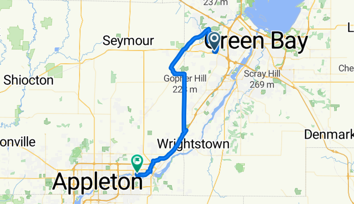
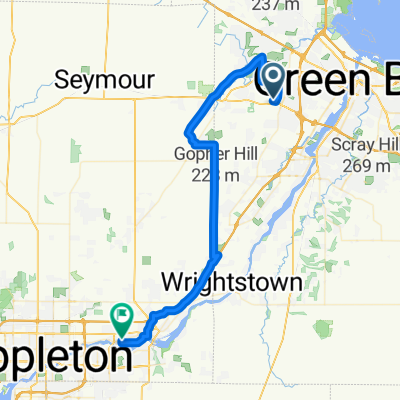 Bike Trip '17 Day 3
- Distance
- 47.9 km
- Ascent
- 83 m
- Descent
- 72 m
- Location
- Ashwaubenon, Wisconsin, United States
 crazy way home
- Distance
- 19 km
- Ascent
- 66 m
- Descent
- 47 m
- Location
- Ashwaubenon, Wisconsin, United States
 Reach Centre Complex
- Distance
- 5.9 km
- Ascent
- 10 m
- Descent
- 28 m
- Location
- Ashwaubenon, Wisconsin, United States
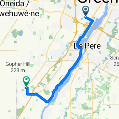
 Lombardi Ave, Green Bay to S Oneida St, Green Bay
- Distance
- 5.1 km
- Ascent
- 26 m
- Descent
- 24 m
- Location
- Ashwaubenon, Wisconsin, United States
Open it in the app