
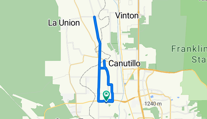
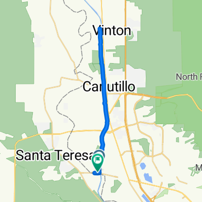
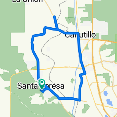
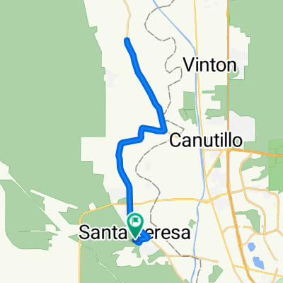
ride through El Paso
A cycling route starting in Santa Teresa, New Mexico, United States.
Overview
About this route
Beautiful ride!
- -:--
- Duration
- 23.1 km
- Distance
- 52 m
- Ascent
- 52 m
- Descent
- ---
- Avg. speed
- ---
- Max. altitude

Route quality
Waytypes & surfaces along the route
Waytypes
Road
13.6 km
(59 %)
Cycleway
5.8 km
(25 %)
Surfaces
Paved
10.2 km
(44 %)
Asphalt
5.5 km
(24 %)
Paved (undefined)
4.6 km
(20 %)
Undefined
12.9 km
(56 %)
Route highlights
Points of interest along the route
Point of interest after 2.6 km
Continue with Bikemap
Use, edit, or download this cycling route
You would like to ride ride through El Paso or customize it for your own trip? Here is what you can do with this Bikemap route:
Free features
- Save this route as favorite or in collections
- Copy & plan your own version of this route
- Sync your route with Garmin or Wahoo
Premium features
Free trial for 3 days, or one-time payment. More about Bikemap Premium.
- Navigate this route on iOS & Android
- Export a GPX / KML file of this route
- Create your custom printout (try it for free)
- Download this route for offline navigation
Discover more Premium features.
Get Bikemap PremiumFrom our community
Other popular routes starting in Santa Teresa
 5801–5873 Alandalus Dr, El Paso to 1096 Los Moros Dr, El Paso
- Distance
- 1.9 km
- Ascent
- 22 m
- Descent
- 21 m
- Location
- Santa Teresa, New Mexico, United States
 Upper Valley, El Paso to Country Club Rd, Sunland Park
- Distance
- 26.5 km
- Ascent
- 33 m
- Descent
- 56 m
- Location
- Santa Teresa, New Mexico, United States
 Mesilla 100K
- Distance
- 109 km
- Ascent
- 50 m
- Descent
- 48 m
- Location
- Santa Teresa, New Mexico, United States
 Esther Trl, Sunland Park to Frances St, Sunland Park
- Distance
- 32.9 km
- Ascent
- 40 m
- Descent
- 43 m
- Location
- Santa Teresa, New Mexico, United States
 Esther Trl, Sunland Park to Esther Trl, Sunland Park
- Distance
- 35.6 km
- Ascent
- 46 m
- Descent
- 46 m
- Location
- Santa Teresa, New Mexico, United States
 chupacabras por sta teresa CLONED FROM ROUTE 1241399
- Distance
- 67.4 km
- Ascent
- 554 m
- Descent
- 554 m
- Location
- Santa Teresa, New Mexico, United States
 Enterprise to home short loop
- Distance
- 12.5 km
- Ascent
- 157 m
- Descent
- 159 m
- Location
- Santa Teresa, New Mexico, United States
 Olivia
- Distance
- 3.8 km
- Ascent
- 32 m
- Descent
- 35 m
- Location
- Santa Teresa, New Mexico, United States
Open it in the app