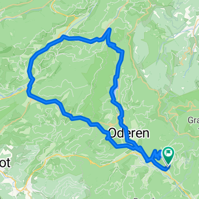
transvogees2

storkenkopf - la bresse

A cycling route starting in Saint-Amarin, Grand Est, France.
OverviewAbout this route

refuge storkenkopf - ranspach - kruth - ventron - la bresse

Translated, show original (French)
-:--
Duration
41.6 km
Distance
930 m
Ascent
1,282 m
Descent
---
Avg. speed
---
Max. altitude
hans vermeirencreated this 9 years ago
Route qualityWaytypes & surfaces along the route
Waytypes
  • Quiet road

    18.7 km45 %
  • Track

    7.9 km19 %
  • Path

    3.3 km8 %
Surfaces

Paved

22.9 km(55 %)

Unpaved

9.2 km(22 %)
  • Asphalt

    22.5 km54 %
  • Gravel

    3.3 km8 %
  • Unpaved (undefined)

    2.1 km5 %
Continue with BikemapUse, edit, or download this cycling route
You would like to ride storkenkopf - la bresse or customize it for your own trip? Here is what you can do with this Bikemap route:
Free features
Premium features

Free trial for 3 days, or one-time payment. More about Bikemap Premium.

  • Navigate this route on iOS & Android
  • Export a GPX / KML file of this route
  • Create your custom printout (try it for free)
  • Download this route for offline navigation

Discover more Premium features.

Get Bikemap Premium
From our communityOther popular routes starting in Saint-Amarin

Open it in the app