

Rund um den Schwarzwald
A cycling route starting in Stuttgart, Baden-Wurttemberg, Germany.
Overview
About this route
- -:--
- Duration
- 615.2 km
- Distance
- 14,989 m
- Ascent
- 14,967 m
- Descent
- ---
- Avg. speed
- 1,200 m
- Max. altitude
Route quality
Waytypes & surfaces along the route
Waytypes
Road
135.4 km
(22 %)
Track
49.2 km
(8 %)
Surfaces
Paved
473.7 km
(77 %)
Unpaved
36.9 km
(6 %)
Asphalt
461.4 km
(75 %)
Gravel
18.5 km
(3 %)
Continue with Bikemap
Use, edit, or download this cycling route
You would like to ride Rund um den Schwarzwald or customize it for your own trip? Here is what you can do with this Bikemap route:
Free features
- Save this route as favorite or in collections
- Copy & plan your own version of this route
- Split it into stages to create a multi-day tour
- Sync your route with Garmin or Wahoo
Premium features
Free trial for 3 days, or one-time payment. More about Bikemap Premium.
- Navigate this route on iOS & Android
- Export a GPX / KML file of this route
- Create your custom printout (try it for free)
- Download this route for offline navigation
Discover more Premium features.
Get Bikemap PremiumFrom our community
Other popular routes starting in Stuttgart
 Olgastrasse-Onkel Otto-Stelle-Sillenbuch-Weinsteige Olgastrasse
- Distance
- 23.8 km
- Ascent
- 516 m
- Descent
- 516 m
- Location
- Stuttgart, Baden-Wurttemberg, Germany
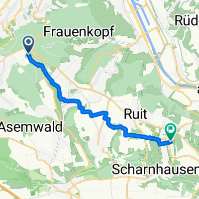
 Rund um den Schwarzwald
- Distance
- 615.2 km
- Ascent
- 14,989 m
- Descent
- 14,967 m
- Location
- Stuttgart, Baden-Wurttemberg, Germany
 Fernsehturm - Home
- Distance
- 9.9 km
- Ascent
- 38 m
- Descent
- 137 m
- Location
- Stuttgart, Baden-Wurttemberg, Germany
 Stuttgartumrundung nice 01
- Distance
- 47.2 km
- Ascent
- 833 m
- Descent
- 872 m
- Location
- Stuttgart, Baden-Wurttemberg, Germany
 kleine Samstagsspaßrunde
- Distance
- 21.3 km
- Ascent
- 431 m
- Descent
- 418 m
- Location
- Stuttgart, Baden-Wurttemberg, Germany
 LEO Runde
- Distance
- 61.5 km
- Ascent
- 603 m
- Descent
- 603 m
- Location
- Stuttgart, Baden-Wurttemberg, Germany
 Fernsehturm
- Distance
- 9.4 km
- Ascent
- 30 m
- Descent
- 138 m
- Location
- Stuttgart, Baden-Wurttemberg, Germany
 siebenmühlentalrunde über plieningen
- Distance
- 37.8 km
- Ascent
- 283 m
- Descent
- 359 m
- Location
- Stuttgart, Baden-Wurttemberg, Germany
Open it in the app