
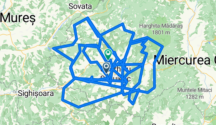
BSZP/Udvarhelyszék
A cycling route starting in Tăureni, Harghita County, Romania.
Overview
About this route
- -:--
- Duration
- 525.7 km
- Distance
- 5,452 m
- Ascent
- 5,466 m
- Descent
- ---
- Avg. speed
- ---
- Max. altitude

Continue with Bikemap
Use, edit, or download this cycling route
You would like to ride BSZP/Udvarhelyszék or customize it for your own trip? Here is what you can do with this Bikemap route:
Free features
- Save this route as favorite or in collections
- Copy & plan your own version of this route
- Split it into stages to create a multi-day tour
- Sync your route with Garmin or Wahoo
Premium features
Free trial for 3 days, or one-time payment. More about Bikemap Premium.
- Navigate this route on iOS & Android
- Export a GPX / KML file of this route
- Create your custom printout (try it for free)
- Download this route for offline navigation
Discover more Premium features.
Get Bikemap PremiumFrom our community
Other popular routes starting in Tăureni
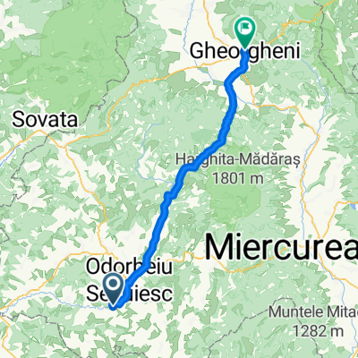 Odeni - Georgheni
- Distance
- 69.7 km
- Ascent
- 689 m
- Descent
- 326 m
- Location
- Tăureni, Harghita County, Romania
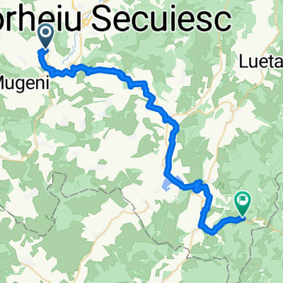
 bikemap #6 Oțeni - Sighișoara
- Distance
- 120.8 km
- Ascent
- 1,099 m
- Descent
- 1,061 m
- Location
- Tăureni, Harghita County, Romania
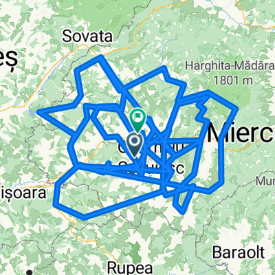 BSZP/Udvarhelyszék
- Distance
- 525.7 km
- Ascent
- 5,452 m
- Descent
- 5,466 m
- Location
- Tăureni, Harghita County, Romania
 Hodgya - Oklánd Fanni szülinap 2025
- Distance
- 39 km
- Ascent
- 627 m
- Descent
- 504 m
- Location
- Tăureni, Harghita County, Romania
 2012.09.14 Sighisoara
- Distance
- 43.2 km
- Ascent
- 68 m
- Descent
- 220 m
- Location
- Tăureni, Harghita County, Romania
 Udvarhely-Derzs-Erked-Fiatfalva-Rugonfalva-Szentlélek-Udvarhely-85 km.
- Distance
- 86.7 km
- Ascent
- 368 m
- Descent
- 368 m
- Location
- Tăureni, Harghita County, Romania
 DJ137A, Feliceni - Cristuru Secuiesc
- Distance
- 14.4 km
- Ascent
- 58 m
- Descent
- 104 m
- Location
- Tăureni, Harghita County, Romania
Open it in the app