2017 petit -plagne
- 119.9 km
- 2,758 m
- 2,758 m
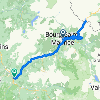
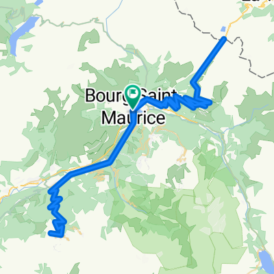
- Bourg-Saint-Maurice, Auvergne-Rhône-Alpes, France
A cycling route starting in Bourg-Saint-Maurice, Auvergne-Rhône-Alpes, France.
Overview
Pt St. Bernard / La Plagne
created this 9 years ago
Route quality
Road
16.8 km
(14 %)
Quiet road
3.6 km
(3 %)
Undefined
99.6 km
(83 %)
Paved
66 km
(55 %)
Asphalt
66 km
(55 %)
Undefined
54 km
(45 %)
Route highlights
Petit Grand Bernard 26,5km 5% 8,1% max 1348m http://www.cols-cyclisme.com/massif-du-mont-blanc/france/col-du-petit-saint-bernard-depuis-bourg-saint-maurice-c301.htm
Col de l'Iseran 48km 4% max 7% 1955 http://www.cols-cyclisme.com/vanoise/france/col-de-l-iseran-depuis-bourg-saint-maurice-c105.htm
La plagne 21km 6,6% 10,4%max 1419 m http://www.cols-cyclisme.com/vanoise/france/station-de-la-plagne-depuis-aime-c38.htm
Continue with Bikemap
You would like to ride 2017 ALPS Etapa 2 - La plagne or customize it for your own trip? Here is what you can do with this Bikemap route:
Free trial for 3 days, or one-time payment. More about Bikemap Premium.
Discover more Premium features.
Get Bikemap PremiumFrom our community
Open it in the app