

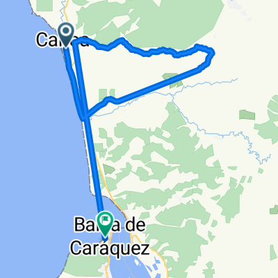
reto san vicente
A cycling route starting in San Vicente, Manabí, Ecuador.
Overview
About this route
women, tourism and super master.
- -:--
- Duration
- 53.7 km
- Distance
- 264 m
- Ascent
- 269 m
- Descent
- ---
- Avg. speed
- ---
- Max. altitude

Continue with Bikemap
Use, edit, or download this cycling route
You would like to ride reto san vicente or customize it for your own trip? Here is what you can do with this Bikemap route:
Free features
- Save this route as favorite or in collections
- Copy & plan your own version of this route
- Sync your route with Garmin or Wahoo
Premium features
Free trial for 3 days, or one-time payment. More about Bikemap Premium.
- Navigate this route on iOS & Android
- Export a GPX / KML file of this route
- Create your custom printout (try it for free)
- Download this route for offline navigation
Discover more Premium features.
Get Bikemap PremiumFrom our community
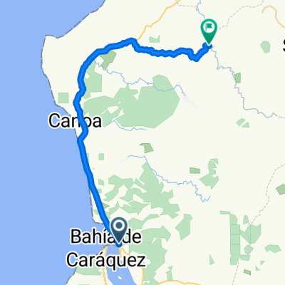
Other popular routes starting in San Vicente
 San Vicente Cycling
- Distance
- 23.1 km
- Ascent
- 628 m
- Descent
- 549 m
- Location
- San Vicente, Manabí, Ecuador
 otra pro
- Distance
- 17 km
- Ascent
- 88 m
- Descent
- 96 m
- Location
- San Vicente, Manabí, Ecuador
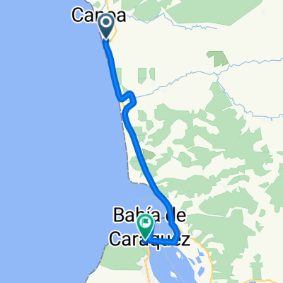
 canoa 30k
- Distance
- 46.3 km
- Ascent
- 479 m
- Descent
- 479 m
- Location
- San Vicente, Manabí, Ecuador
 De Carlos Casis, Canoa a Unnamed Road, Cojimíes
- Distance
- 131.7 km
- Ascent
- 2,102 m
- Descent
- 2,103 m
- Location
- San Vicente, Manabí, Ecuador
 reto san vicente parte 1
- Distance
- 43.7 km
- Ascent
- 554 m
- Descent
- 437 m
- Location
- San Vicente, Manabí, Ecuador
 canoa bahia ppor el puente
- Distance
- 22.5 km
- Ascent
- 266 m
- Descent
- 189 m
- Location
- San Vicente, Manabí, Ecuador
 La Concordia Canoa
- Distance
- 191 km
- Ascent
- 937 m
- Descent
- 1,145 m
- Location
- San Vicente, Manabí, Ecuador
 CANOA MANTA
- Distance
- 112.1 km
- Ascent
- 525 m
- Descent
- 525 m
- Location
- San Vicente, Manabí, Ecuador
Open it in the app