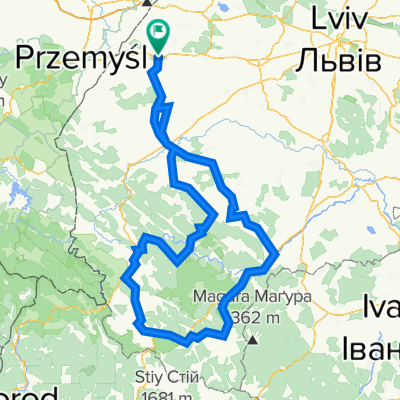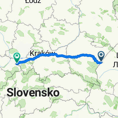
Przemysl-Rzeszow-Tarnow-Krakow-Cieszyn
- 386.2 km
- 1,024 m
- 931 m
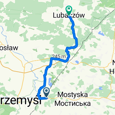
- Mostyska, Lviv Oblast, Ukraine
A cycling route starting in Mostyska, Lviv Oblast, Ukraine.
Overview
Via Regia - the Royal Road, High Road - is a medieval trade route that was specially protected by the rulers of the areas it passed through. Pilgrims naturally used the Via Regia to travel towards Santiago, as it connected Spain with many European countries. The oldest part of the Via Regia was constructed in antiquity by the Romans for military purposes. It was meant to connect Spain with eastern regions and was to end at the Elbe River. In the Middle Ages, it was extended eastward and over time ceased to serve solely military purposes, becoming one of Europe’s most important trade routes. In 2002, at the initiative of the Saxony authorities, the 'VIA REGIA - European Cultural Route' initiative was established, aiming to elevate the route to a symbol of a united Europe. This complements the status granted to the Way of St. James by the Council of Europe.
created this 9 years ago
Route quality
Quiet road
305.1 km
(32 %)
Track
257.4 km
(27 %)
Paved
429 km
(45 %)
Unpaved
181.1 km
(19 %)
Asphalt
390.9 km
(41 %)
Ground
85.8 km
(9 %)
Continue with Bikemap
You would like to ride Droga św. Jakuba Via Regia+ or customize it for your own trip? Here is what you can do with this Bikemap route:
Free trial for 3 days, or one-time payment. More about Bikemap Premium.
Discover more Premium features.
Get Bikemap PremiumFrom our community
Open it in the app