
Hintertux
A cycling route starting in Kolsassberg, Tyrol, Austria.
Overview
About this route
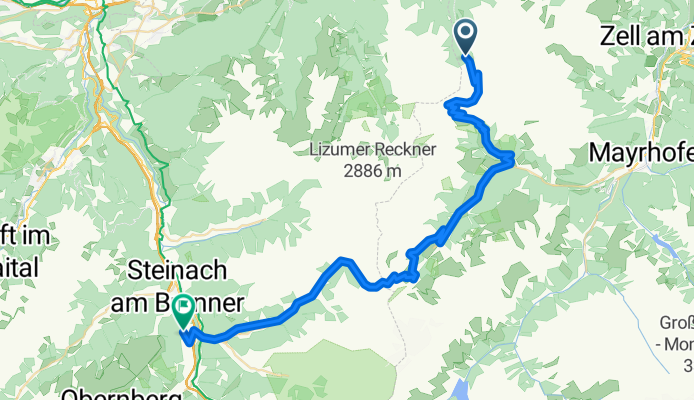
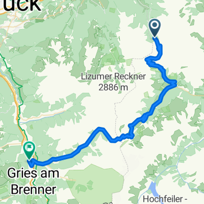
Geiseljoch-Vorderlanersbach-Hintertux-Noesslach
- -:--
- Duration
- 50.5 km
- Distance
- 1,813 m
- Ascent
- 2,219 m
- Descent
- ---
- Avg. speed
- ---
- Max. altitude
Continue with Bikemap
Use, edit, or download this cycling route
You would like to ride Hintertux or customize it for your own trip? Here is what you can do with this Bikemap route:
Free features
- Save this route as favorite or in collections
- Copy & plan your own version of this route
- Sync your route with Garmin or Wahoo
Premium features
Free trial for 3 days, or one-time payment. More about Bikemap Premium.
- Navigate this route on iOS & Android
- Export a GPX / KML file of this route
- Create your custom printout (try it for free)
- Download this route for offline navigation
Discover more Premium features.
Get Bikemap PremiumFrom our community
Other popular routes starting in Kolsassberg
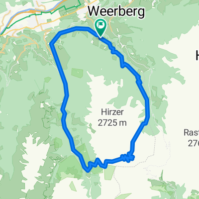 Krovenzjochrunde
- Distance
- 36.2 km
- Ascent
- 1,606 m
- Descent
- 1,611 m
- Location
- Kolsassberg, Tyrol, Austria
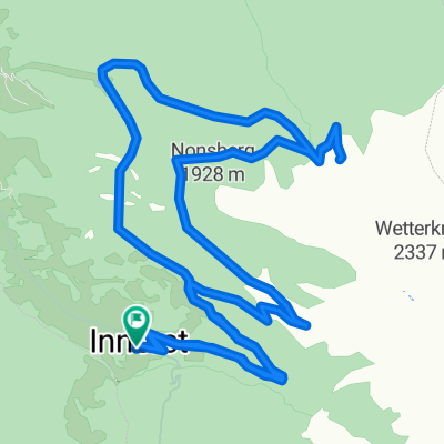
 3_Weidener Huette
- Distance
- 50.4 km
- Ascent
- 1,821 m
- Descent
- 2,230 m
- Location
- Kolsassberg, Tyrol, Austria
 Weidner Hütte - Sterzing
- Distance
- 80.1 km
- Ascent
- 1,598 m
- Descent
- 2,664 m
- Location
- Kolsassberg, Tyrol, Austria
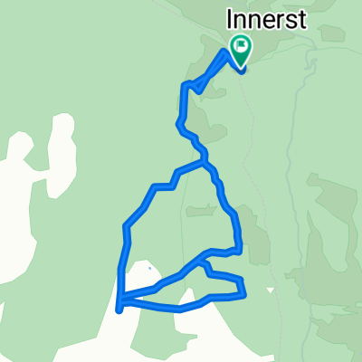
 Rundtour um die Lafasteralm
- Distance
- 20.7 km
- Ascent
- 811 m
- Descent
- 811 m
- Location
- Kolsassberg, Tyrol, Austria
 Tagetlahnalm
- Distance
- 9.5 km
- Ascent
- 1,470 m
- Descent
- 1,470 m
- Location
- Kolsassberg, Tyrol, Austria
 Transalp 2017 #3
- Distance
- 51.8 km
- Ascent
- 1,786 m
- Descent
- 2,192 m
- Location
- Kolsassberg, Tyrol, Austria
 Tag 2. Weidener Hütte - Tuxer Joch Haus
- Distance
- 29.6 km
- Ascent
- 1,556 m
- Descent
- 1,041 m
- Location
- Kolsassberg, Tyrol, Austria
 Hintertux
- Distance
- 50.5 km
- Ascent
- 1,813 m
- Descent
- 2,219 m
- Location
- Kolsassberg, Tyrol, Austria
Open it in the app