

Graubünden challenge
A cycling route starting in Davos, Grisons, Switzerland.
Overview
About this route
From Davos, Europe’s highest town, the loop covers a distance of 117km and 2780m of climbing. The Albula, the ascent to which starts 30km further on, is arguably Switzerland’s prettiest pass.
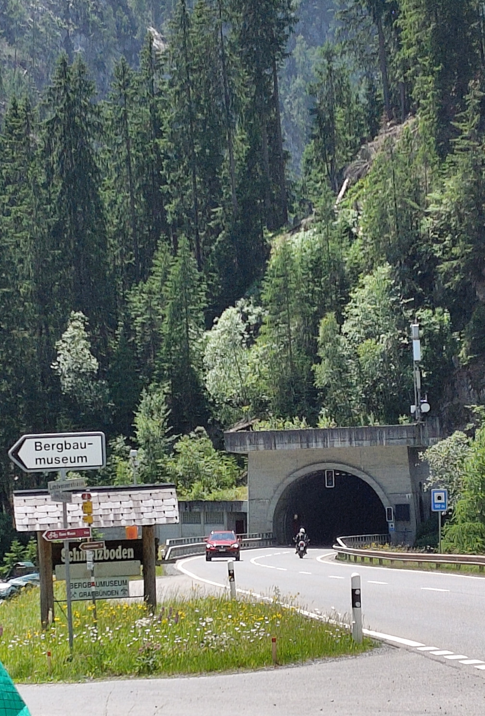
National Cycling Route 6 is dotted with unspoilt villages featuring houses with richly decorated facades. After Bergün, the loop passes beneath some spectacular bridges on the Albula line of the Rhaetian Railway (the entire line is a UNESCO World Heritage Site) before reaching the summit at alt. 2315m after 23km of climbing. The pass regularly features on the Tour de Suisse: in 2013 Frenchman Thibaut Pinot reached the summit first to take the King of the Mountain jersey, but it was the Portuguese Rui Costa who won stage seven in La Punt at the end of the descent.
Having crossed part of the Engadine 27km further on, you reach Susch and the foot of the Flüela. Another Tour de Suisse favourite, this 12km-long pass road summits at alt. 2383m between the Flüela-Weisshorn (alt. 3085 m) to the north and Schwarzhorn (alt. 3147 m) to the south. A spectacular descent brings you back to Davos.
- -:--
- Duration
- 116.5 km
- Distance
- 2,478 m
- Ascent
- 2,478 m
- Descent
- ---
- Avg. speed
- ---
- Max. altitude

Route quality
Waytypes & surfaces along the route
Waytypes
Road
21 km
(18 %)
Quiet road
1.2 km
(1 %)
Surfaces
Paved
113 km
(97 %)
Unpaved
1.2 km
(1 %)
Asphalt
113 km
(97 %)
Gravel
1.2 km
(1 %)
Undefined
2.3 km
(2 %)
Continue with Bikemap
Use, edit, or download this cycling route
You would like to ride Graubünden challenge or customize it for your own trip? Here is what you can do with this Bikemap route:
Free features
- Save this route as favorite or in collections
- Copy & plan your own version of this route
- Split it into stages to create a multi-day tour
- Sync your route with Garmin or Wahoo
Premium features
Free trial for 3 days, or one-time payment. More about Bikemap Premium.
- Navigate this route on iOS & Android
- Export a GPX / KML file of this route
- Create your custom printout (try it for free)
- Download this route for offline navigation
Discover more Premium features.
Get Bikemap PremiumFrom our community
Other popular routes starting in Davos
 Schweizer Rundreise: 6. Davos - Herisau
- Distance
- 136.8 km
- Ascent
- 630 m
- Descent
- 1,455 m
- Location
- Davos, Grisons, Switzerland
 Davos Wolfgang - Zügenschluecht - Schmitten
- Distance
- 27.1 km
- Ascent
- 289 m
- Descent
- 637 m
- Location
- Davos, Grisons, Switzerland
 Langsame Fahrt in Davos Platz
- Distance
- 15.3 km
- Ascent
- 579 m
- Descent
- 575 m
- Location
- Davos, Grisons, Switzerland
 Bike Magazin: Davos Nr1 - endless Singel Trails :-) CLONED FROM ROUTE 291784
- Distance
- 48.2 km
- Ascent
- 886 m
- Descent
- 899 m
- Location
- Davos, Grisons, Switzerland
 Davos - Scalettapass - Scuol
- Distance
- 82.8 km
- Ascent
- 1,565 m
- Descent
- 1,948 m
- Location
- Davos, Grisons, Switzerland
 19.7.25 Davos Talroute
- Distance
- 19.2 km
- Ascent
- 261 m
- Descent
- 336 m
- Location
- Davos, Grisons, Switzerland
 Traumrunde - irgendwann
- Distance
- 364.7 km
- Ascent
- 8,123 m
- Descent
- 8,123 m
- Location
- Davos, Grisons, Switzerland
 Panoramaweg Supertour Davos
- Distance
- 25.4 km
- Ascent
- 135 m
- Descent
- 1,249 m
- Location
- Davos, Grisons, Switzerland
Open it in the app