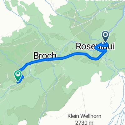
Grosse Scheidegg
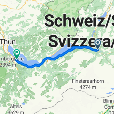
A cycling route starting in Meiringen, Canton of Bern, Switzerland.
Overview
About this route
The Jungfrau is not necessarily known as a road cycling destination, but it does offer one of Europe’s finest passes: the Grosse Scheidegg (alt. 1962m).
Between Meiringen and Grindelwald, the road passes below 1700m-high flanks and offers unique views of glaciers and the notorious north face of the Eiger. Moreover, there are no cars; the only vehicles allowed are the famous yellow PostBuses.
Boasting a rise of 1300m over 16km to reach the summit and with gradients as steep as 12%, the Grosse Scheidegg is a unique cycling experience that has to be earned. This is followed by a dizzying descent to Grindelwald, a quintessential village well placed for offering a rest at the foot of the Eiger, Mönch and Jungfrau massif. The road continues down the Lütschine river to Interlaken, a mecca for outdoor recreation enthusiasts. The final leg of the loop follows the shores of Brienz Lake back to Meiringen.
- -:--
- Duration
- 79.2 km
- Distance
- 1,404 m
- Ascent
- 1,404 m
- Descent
- ---
- Avg. speed
- ---
- Avg. speed
Continue with Bikemap
Use, edit, or download this cycling route
You would like to ride Grosse Scheidegg or customize it for your own trip? Here is what you can do with this Bikemap route:
Free features
- Save this route as favorite or in collections
- Copy & plan your own version of this route
- Sync your route with Garmin or Wahoo
Premium features
Free trial for 3 days, or one-time payment. More about Bikemap Premium.
- Navigate this route on iOS & Android
- Export a GPX / KML file of this route
- Create your custom printout (try it for free)
- Download this route for offline navigation
Discover more Premium features.
Get Bikemap PremiumFrom our community
Other popular routes starting in Meiringen
- Innertkirchen-Sustenpass-Küssnacht
- Distance
- 111.5 km
- Ascent
- 2,822 m
- Descent
- 2,945 m
- Location
- Meiringen, Canton of Bern, Switzerland
- Melchsee Hasliberg Gibel Lungern
- Distance
- 38.6 km
- Ascent
- 673 m
- Descent
- 2,106 m
- Location
- Meiringen, Canton of Bern, Switzerland
- Alpenbrevet Silber
- Distance
- 131.9 km
- Ascent
- 3,564 m
- Descent
- 3,564 m
- Location
- Meiringen, Canton of Bern, Switzerland
- 5. Etappe_Tour de Suisse
- Distance
- 124.1 km
- Ascent
- 1,378 m
- Descent
- 2,001 m
- Location
- Meiringen, Canton of Bern, Switzerland
- Schwarzental
- Distance
- 20.3 km
- Ascent
- 567 m
- Descent
- 648 m
- Location
- Meiringen, Canton of Bern, Switzerland
- V2_E06_ALPX_Schweiz
- Distance
- 48.2 km
- Ascent
- 2,849 m
- Descent
- 1,399 m
- Location
- Meiringen, Canton of Bern, Switzerland
- Meiringen - Grosse Scheidegg - Meiringen
- Distance
- 76.8 km
- Ascent
- 1,649 m
- Descent
- 1,649 m
- Location
- Meiringen, Canton of Bern, Switzerland
- Große Scheidegg Rundtour
- Distance
- 84.3 km
- Ascent
- 1,656 m
- Descent
- 1,498 m
- Location
- Meiringen, Canton of Bern, Switzerland
Open it in the app