
26. 12. 2010
- 41.9 km
- 575 m
- 575 m
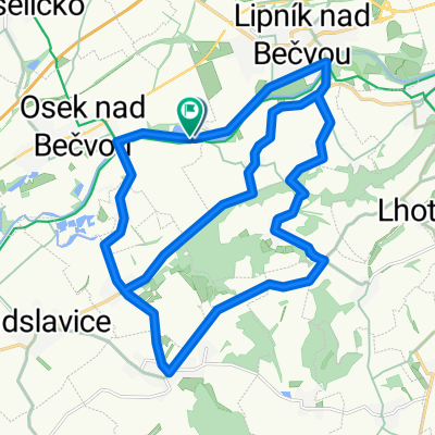
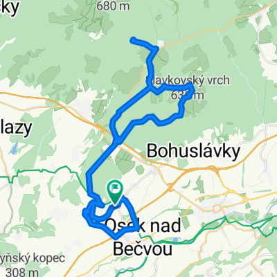
- Osek nad Bečvou, Olomoucký kraj, Czechia
A cycling route starting in Osek nad Bečvou, Olomoucký kraj, Czechia.
Overview
ParaglaidPeklo - z místa odkud startují paraglaidy do údolí Pekla nad Podhořím je super výhled na Lipník, Osek, Přerov atd.
created this 15 years ago
Route quality
Track
17.9 km
(46 %)
Quiet road
7.4 km
(19 %)
Paved
9 km
(23 %)
Unpaved
8.2 km
(21 %)
Asphalt
8.6 km
(22 %)
Ground
6.6 km
(17 %)
Continue with Bikemap
You would like to ride Osek - ParaglaidPeklo -Osek or customize it for your own trip? Here is what you can do with this Bikemap route:
Free trial for 3 days, or one-time payment. More about Bikemap Premium.
Discover more Premium features.
Get Bikemap PremiumFrom our community
Open it in the app