Toscana : Saturnia
- 63.2 km
- 693 m
- 1,375 m
- Abbadia San Salvatore, Tuscany, Italy
A cycling route starting in Abbadia San Salvatore, Tuscany, Italy.
Overview
created this 9 years ago
Route quality
Quiet road
19.5 km
(46 %)
Track
17.8 km
(42 %)
Paved
6.3 km
(15 %)
Unpaved
24.1 km
(57 %)
Gravel
11.4 km
(27 %)
Loose gravel
6.8 km
(16 %)
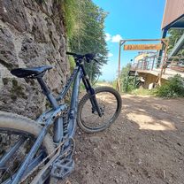
Route highlights
la ciaia
Continue with Bikemap
You would like to ride ciaia or customize it for your own trip? Here is what you can do with this Bikemap route:
Free trial for 3 days, or one-time payment. More about Bikemap Premium.
Discover more Premium features.
Get Bikemap PremiumFrom our community
Open it in the app