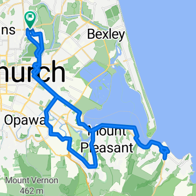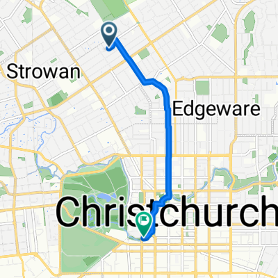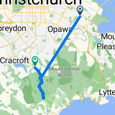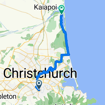
From Cashmere to Brooklands
- 30.3 km
- 69 m
- 81 m
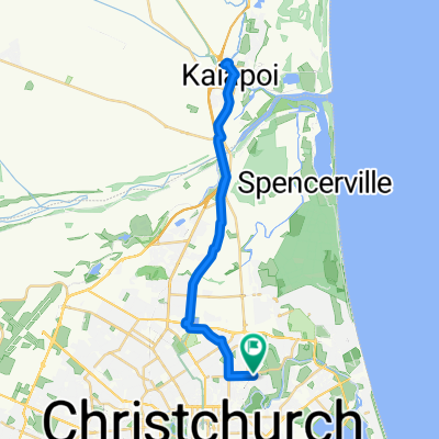
- Christchurch, Canterbury, New Zealand
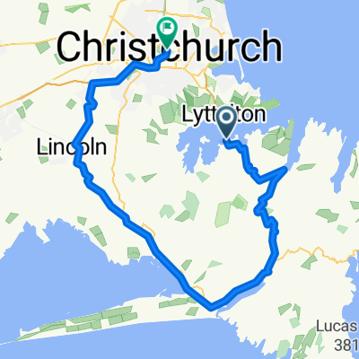
Christchurch Port Hills
A cycling route starting in Christchurch, Canterbury, New Zealand.
Overview
created this 9 years ago
Part of
Christchurch Port Hills
1 stage
Route quality
Road
14.7 km
(22 %)
Quiet road
11.4 km
(17 %)
Paved
62.9 km
(94 %)
Unpaved
3.3 km
(5 %)
Asphalt
57.5 km
(86 %)
Paved (undefined)
5.4 km
(8 %)
Continue with Bikemap
You would like to ride Christchurch to Gebbies Pass and Tai Tapu or customize it for your own trip? Here is what you can do with this Bikemap route:
Free trial for 3 days, or one-time payment. More about Bikemap Premium.
Discover more Premium features.
Get Bikemap PremiumFrom our community
Open it in the app