
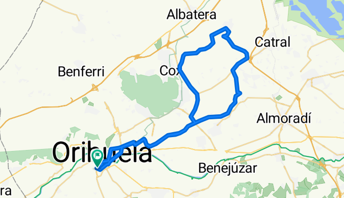


Orihuela -San Isidro 08/12/2016
- 40.6 km
- 25 m
- 29 m
- Orihuela, Valencia, Spain
A cycling route starting in Orihuela, Valencia, Spain.
Overview
Huerta De la Vega baja
created this 9 years ago
Route quality
Quiet road
26.4 km
(65 %)
Road
6.9 km
(17 %)
Paved
12.2 km
(30 %)
Asphalt
12.2 km
(30 %)
Undefined
28.4 km
(70 %)
Continue with Bikemap
You would like to ride Orihuela -San Isidro 08/12/2016 or customize it for your own trip? Here is what you can do with this Bikemap route:
Free trial for 3 days, or one-time payment. More about Bikemap Premium.
Discover more Premium features.
Get Bikemap PremiumFrom our community
Open it in the app


