

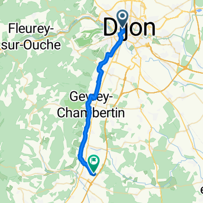
Girolibero: Il canale di Borgogna / Da Digione a Auxerre
A cycling route starting in Dijon, Bourgogne-Franche-Comté, France.
Overview
About this route
Pernottamenti: Digione, Crugey, Clamerey, Montbard, Ancy-le-Franc, Tonnerre, Auxerre
Trasferimenti: Migennes-Auxerre
Fiumi: Canale di Borgogna
- -:--
- Duration
- 241.9 km
- Distance
- 212 m
- Ascent
- 364 m
- Descent
- ---
- Avg. speed
- ---
- Max. altitude

Route quality
Waytypes & surfaces along the route
Waytypes
Path
94.5 km
(39 %)
Cycleway
68.1 km
(28 %)
Surfaces
Paved
158.8 km
(66 %)
Unpaved
44 km
(18 %)
Asphalt
157.9 km
(65 %)
Unpaved (undefined)
16.2 km
(7 %)
Route highlights
Points of interest along the route
Accommodation after 45.6 km
Crugey
Accommodation after 76.9 km
Clamerey
Drinking water after 104.9 km
Canale di Borgogna
Accommodation after 111.4 km
Montbard
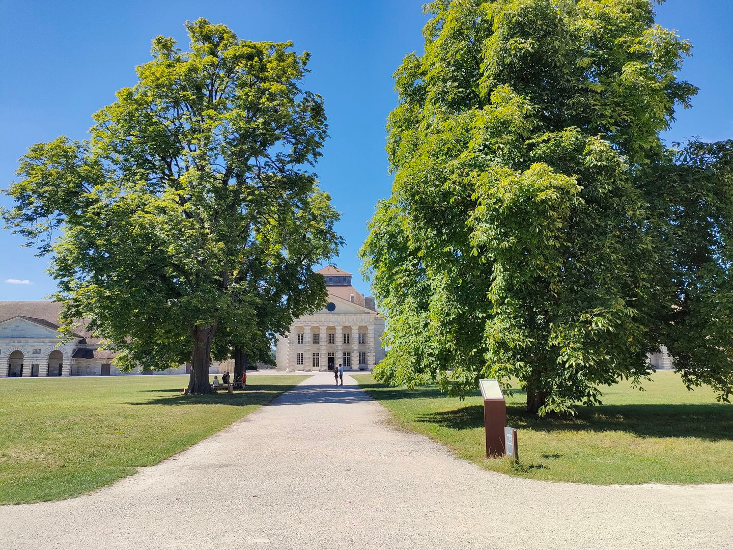
Point of interest after 137.9 km
Chassignelles
Accommodation after 140.4 km
Ancy-le-Franc
Accommodation after 171.8 km
Tonnerre
Point of interest after 219.5 km
Migennes
Accommodation after 241.6 km
Auxerre
Continue with Bikemap
Use, edit, or download this cycling route
You would like to ride Girolibero: Il canale di Borgogna / Da Digione a Auxerre or customize it for your own trip? Here is what you can do with this Bikemap route:
Free features
- Save this route as favorite or in collections
- Copy & plan your own version of this route
- Split it into stages to create a multi-day tour
- Sync your route with Garmin or Wahoo
Premium features
Free trial for 3 days, or one-time payment. More about Bikemap Premium.
- Navigate this route on iOS & Android
- Export a GPX / KML file of this route
- Create your custom printout (try it for free)
- Download this route for offline navigation
Discover more Premium features.
Get Bikemap PremiumFrom our community
Other popular routes starting in Dijon
 96 Rue de la Liberté, Dijon à Avenue Édouard Herriot, Mâcon
- Distance
- 183.2 km
- Ascent
- 1,794 m
- Descent
- 1,853 m
- Location
- Dijon, Bourgogne-Franche-Comté, France
 Plattelandsrit vanuit Dijon
- Distance
- 39.6 km
- Ascent
- 516 m
- Descent
- 515 m
- Location
- Dijon, Bourgogne-Franche-Comté, France
 De Cour de la gare à La Berchère
- Distance
- 26.6 km
- Ascent
- 157 m
- Descent
- 168 m
- Location
- Dijon, Bourgogne-Franche-Comté, France
 Circuit des 4 communes
- Distance
- 19.4 km
- Ascent
- 270 m
- Descent
- 271 m
- Location
- Dijon, Bourgogne-Franche-Comté, France
 Girolibero: Il canale di Borgogna / Da Digione a Auxerre
- Distance
- 241.9 km
- Ascent
- 212 m
- Descent
- 364 m
- Location
- Dijon, Bourgogne-Franche-Comté, France
 Tour 4 maggio
- Distance
- 67.2 km
- Ascent
- 448 m
- Descent
- 468 m
- Location
- Dijon, Bourgogne-Franche-Comté, France
 Dijon-Pasques-Val-Suzon
- Distance
- 49.9 km
- Ascent
- 573 m
- Descent
- 482 m
- Location
- Dijon, Bourgogne-Franche-Comté, France
 Dijon - Môtiers
- Distance
- 192.7 km
- Ascent
- 2,289 m
- Descent
- 1,801 m
- Location
- Dijon, Bourgogne-Franche-Comté, France
Open it in the app