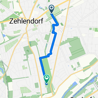
Grunewaldrund
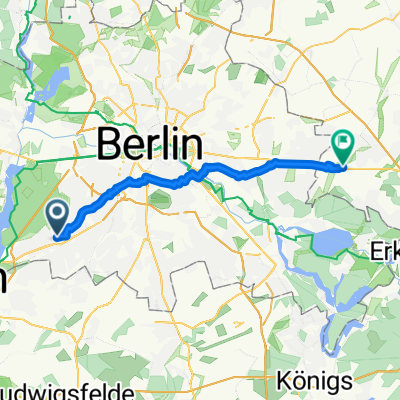
A cycling route starting in Zehlendorf, State of Berlin, Germany.
Overview
About this route
Havelberg ... Teufelsberg ... Postfenn ... Dachsberg ... Lieper Bucht ...
- -:--
- Duration
- 25.9 km
- Distance
- 305 m
- Ascent
- 301 m
- Descent
- ---
- Avg. speed
- ---
- Max. altitude
Route quality
Waytypes & surfaces along the route
Waytypes
Track
11.2 km
(43 %)
Path
10.6 km
(41 %)
Surfaces
Paved
4.1 km
(16 %)
Unpaved
20.2 km
(78 %)
Ground
13.9 km
(54 %)
Gravel
4.7 km
(18 %)
Continue with Bikemap
Use, edit, or download this cycling route
You would like to ride Grunewaldrund or customize it for your own trip? Here is what you can do with this Bikemap route:
Free features
- Save this route as favorite or in collections
- Copy & plan your own version of this route
- Sync your route with Garmin or Wahoo
Premium features
Free trial for 3 days, or one-time payment. More about Bikemap Premium.
- Navigate this route on iOS & Android
- Export a GPX / KML file of this route
- Create your custom printout (try it for free)
- Download this route for offline navigation
Discover more Premium features.
Get Bikemap PremiumFrom our community
Other popular routes starting in Zehlendorf
- Dobbrikow andersrum
- Distance
- 111.2 km
- Ascent
- 139 m
- Descent
- 133 m
- Location
- Zehlendorf, State of Berlin, Germany
- Flache Cross-Runde Berlin-Südwest
- Distance
- 42.1 km
- Ascent
- 114 m
- Descent
- 111 m
- Location
- Zehlendorf, State of Berlin, Germany
- grunerunde
- Distance
- 31.4 km
- Ascent
- 181 m
- Descent
- 178 m
- Location
- Zehlendorf, State of Berlin, Germany
- Zehlendorf -> Trebbin
- Distance
- 72.6 km
- Ascent
- 96 m
- Descent
- 95 m
- Location
- Zehlendorf, State of Berlin, Germany
- Grunewaldrund
- Distance
- 25.9 km
- Ascent
- 305 m
- Descent
- 301 m
- Location
- Zehlendorf, State of Berlin, Germany
- S Zehlendorf -> Tremsdorf -> Caputh -> Auerbachtunnel
- Distance
- 65.4 km
- Ascent
- 258 m
- Descent
- 245 m
- Location
- Zehlendorf, State of Berlin, Germany
- RTF 24. Eichh. 2. Runde
- Distance
- 40.5 km
- Ascent
- 112 m
- Descent
- 116 m
- Location
- Zehlendorf, State of Berlin, Germany
- Berlin - Dobbrikow - Fläming - Jüterbog - Berlin
- Distance
- 156.8 km
- Ascent
- 378 m
- Descent
- 381 m
- Location
- Zehlendorf, State of Berlin, Germany
Open it in the app