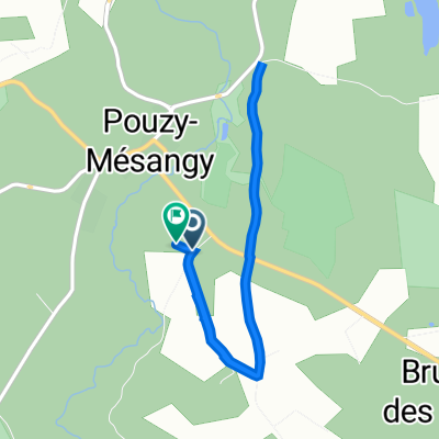
Route des Amonins, Pouzy-Mésangy to Route des Amonins, Pouzy-Mésangy
- 2.4 km
- 56 m
- 56 m
- Lurcy-Lévis, Auvergne-Rhône-Alpes, France
A cycling route starting in Lurcy-Lévis, Auvergne-Rhône-Alpes, France.
Overview
Start and finish of the route at the Étang des Sézeaux
Route quality
Quiet road
7.8 km
(41 %)
Road
4.4 km
(23 %)
Route highlights

Auberge bourbonnaise

Château de Lévis

Office de Tourisme

Vélodrome

Etang des Sézeaux
Continue with Bikemap
You would like to ride Lurcy Lévis or customize it for your own trip? Here is what you can do with this Bikemap route:
Free trial for 3 days, or one-time payment. More about Bikemap Premium.
Discover more Premium features.
Get Bikemap PremiumFrom our community
Open it in the app