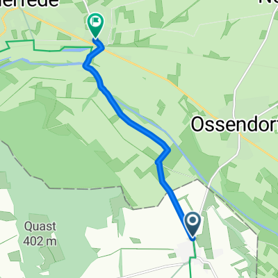
Leuchte - Gaullskopf
- 6.9 km
- 206 m
- 204 m
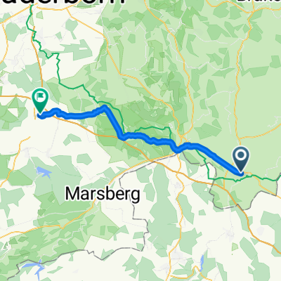
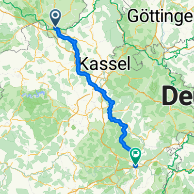
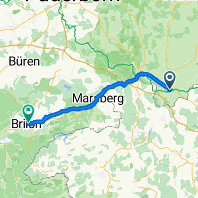
- Warburg, North Rhine-Westphalia, Germany
A cycling route starting in Warburg, North Rhine-Westphalia, Germany.
Overview
created this 8 years ago
Route quality
Track
7.4 km
(62 %)
Quiet road
2.4 km
(20 %)
Paved
9.5 km
(80 %)
Unpaved
1.8 km
(15 %)
Asphalt
4.9 km
(41 %)
Paved (undefined)
4.7 km
(39 %)
Route highlights


Continue with Bikemap
You would like to ride Radrunde durch Warburg or customize it for your own trip? Here is what you can do with this Bikemap route:
Free trial for 3 days, or one-time payment. More about Bikemap Premium.
Discover more Premium features.
Get Bikemap PremiumFrom our community
Open it in the app