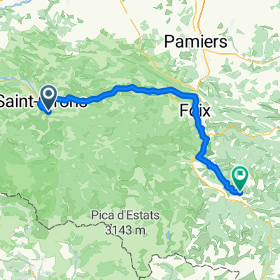
etapa 3 - R
- 111.4 km
- 2,627 m
- 2,337 m
- Saint-Girons, Occitanie, France
A cycling route starting in Saint-Girons, Occitanie, France.
Overview
Via Seix to Col de Latrape, in the last km turn towards Guzet Neige (1520 m), descend and via the top of the Col and Aulus-les-Bains to Oust.
created this 15 years ago
Continue with Bikemap
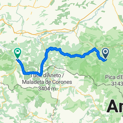
You would like to ride Guzet-Neige(55 km) or customize it for your own trip? Here is what you can do with this Bikemap route:
Free trial for 3 days, or one-time payment. More about Bikemap Premium.
Discover more Premium features.
Get Bikemap PremiumFrom our community
Open it in the app