
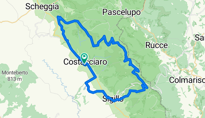
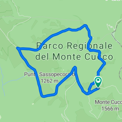
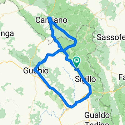
Monte Cucco MTB
A cycling route starting in Costacciaro, Umbria, Italy.
Overview
About this route
- -:--
- Duration
- 32.6 km
- Distance
- 1,026 m
- Ascent
- 1,029 m
- Descent
- ---
- Avg. speed
- ---
- Max. altitude

Continue with Bikemap
Use, edit, or download this cycling route
You would like to ride Monte Cucco MTB or customize it for your own trip? Here is what you can do with this Bikemap route:
Free features
- Save this route as favorite or in collections
- Copy & plan your own version of this route
- Sync your route with Garmin or Wahoo
Premium features
Free trial for 3 days, or one-time payment. More about Bikemap Premium.
- Navigate this route on iOS & Android
- Export a GPX / KML file of this route
- Create your custom printout (try it for free)
- Download this route for offline navigation
Discover more Premium features.
Get Bikemap PremiumFrom our community
Other popular routes starting in Costacciaro
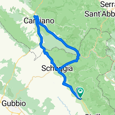 Giro dei Monti Soft
- Distance
- 42.7 km
- Ascent
- 612 m
- Descent
- 609 m
- Location
- Costacciaro, Umbria, Italy
 Sturo della piscia
- Distance
- 10.9 km
- Ascent
- 558 m
- Descent
- 559 m
- Location
- Costacciaro, Umbria, Italy
 Monte Cucco -- Granfondo Monte Cucco MTB 2019 (2)
- Distance
- 29.4 km
- Ascent
- 924 m
- Descent
- 929 m
- Location
- Costacciaro, Umbria, Italy
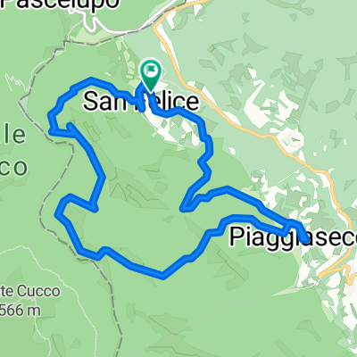
 Monte Cucco -- Anello Pian delle Macinare - Monte le Gronde
- Distance
- 9.6 km
- Ascent
- 293 m
- Descent
- 291 m
- Location
- Costacciaro, Umbria, Italy
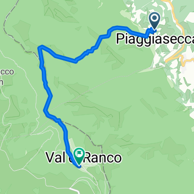 Piaggia secca - Tobia
- Distance
- 5.6 km
- Ascent
- 559 m
- Descent
- 126 m
- Location
- Costacciaro, Umbria, Italy
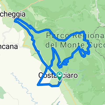
 costacciaro 2
- Distance
- 38.6 km
- Ascent
- 1,294 m
- Descent
- 1,297 m
- Location
- Costacciaro, Umbria, Italy
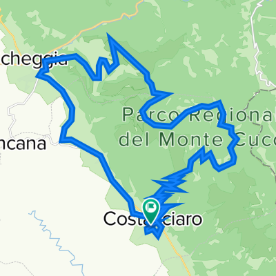
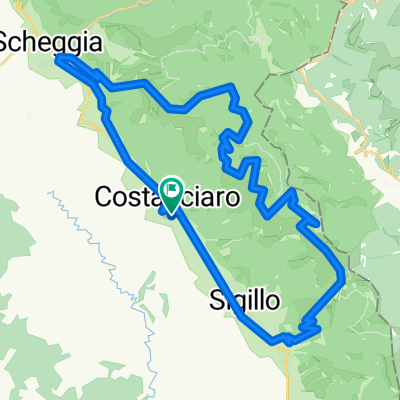
 costacciaro 1
- Distance
- 31.1 km
- Ascent
- 994 m
- Descent
- 995 m
- Location
- Costacciaro, Umbria, Italy
 Sulle strade di San Francesco
- Distance
- 80.3 km
- Ascent
- 882 m
- Descent
- 862 m
- Location
- Costacciaro, Umbria, Italy
Open it in the app