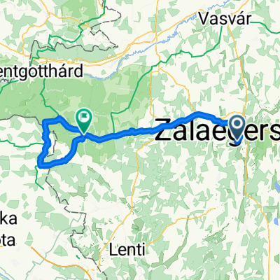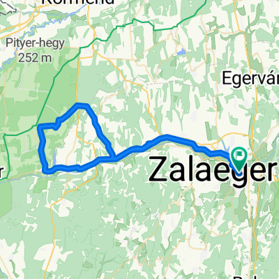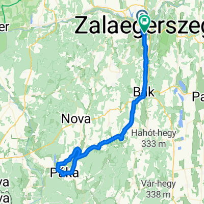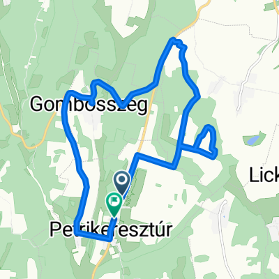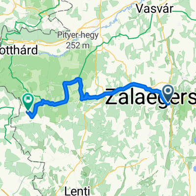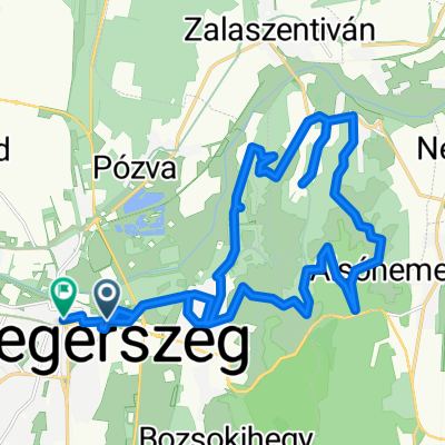
Berzsenyi Dániel utca, Zalaegerszeg - Deák Ferenc tér, Zalaegerszeg
- 26.1 km
- 599 m
- 593 m
- Zalaegerszeg, Zala County, Hungary
A cycling route starting in Zalaegerszeg, Zala County, Hungary.
Overview
TAHUNA track
created this 8 years ago
Route quality
Track
258.8 km
(44 %)
Quiet road
117.6 km
(20 %)
Paved
252.9 km
(43 %)
Unpaved
129.4 km
(22 %)
Asphalt
229.4 km
(39 %)
Ground
70.6 km
(12 %)
Route highlights

Vasvár (German: Eisenburg, Slovene: Železnograd, Latin: (formerly) Castrum Ferrum), is a town in Vas county, Hungary.

Vasvár (German: Eisenburg, Slovene: Železnograd, Latin: (formerly) Castrum Ferrum), is a town in Vas county, Hungary.
Szombathely, 9719 Magyarország
Szombathely, 9719 Magyarország

Söpte is a village in Vas county, Hungary.

Vasasszonyfa is a village in Vas county, Hungary.

Fertőszentmiklós is a small town in Győr-Moson-Sopron county, Hungary.

Fertőd is a town located in the Győr-Moson-Sopron county of Hungary, not far from Austria. Fertőd was formed when the towns of Eszterháza and Süttör were unified, in 1950. It is the location of one of Hungary's best known palaces, Eszterháza, which was built in the 1760s by Prince Nikolaus Esterhazy
Sopron (Hungarian pronunciation: [ˈʃopron]; German: Ödenburg, Slovene: Šopron, Latin: Scarbantia) is a city in Hungary on the Austrian border, near the Lake Neusiedl/Lake Fertő.
Győr (Hungarian pronunciation: [ˈɟøːr]; German: Raab, Slovak: Ráb, names in other languages) is the most important city of northwest Hungary, the capital of Győr-Moson-Sopron County and Western Transdanubia region, and—halfway between Budapest and Vienna—situated on one of the important roads of Cen
Komárom, Magyarország
946 38 Dunaradvány, Szlovákia
Continue with Bikemap
You would like to ride 5 megyén keresztül két keréken or customize it for your own trip? Here is what you can do with this Bikemap route:
Free trial for 3 days, or one-time payment. More about Bikemap Premium.
Discover more Premium features.
Get Bikemap PremiumFrom our community
Open it in the app