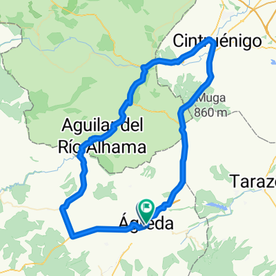
Subida al Moncayo desde 脕greda
A cycling route starting in 脕greda, Castille and Le贸n, Spain.
Overview
About this route
Subida al Monasterio del Moncayo desde la provincia Soria.
Se pueden visitar los pueblos 谩rabes de 脕greda y Vozmediano para luego encaminar a la zona h煤meda del Moncayo que est谩 en la provincia de Zaragoza.
La subida es siempre suave bajo la sombra de pinos, robles y hayas.
- -:--
- Duration
- 48.1 km
- Distance
- 1,140 m
- Ascent
- 1,005 m
- Descent
- ---
- Avg. speed
- 1,629 m
- Avg. speed
Route quality
Waytypes & surfaces along the route
Waytypes
Quiet road
23.2 km
(48 %)
Busy road
10.3 km
(21 %)
Surfaces
Paved
14.1 km
(29 %)
Unpaved
18.9 km
(39 %)
Gravel
18.6 km
(39 %)
Asphalt
14.1 km
(29 %)
Continue with Bikemap
Use, edit, or download this cycling route
You would like to ride Subida al Moncayo desde 脕greda or customize it for your own trip? Here is what you can do with this Bikemap route:
Free features
- Save this route as favorite or in collections
- Copy & plan your own version of this route
- Sync your route with Garmin or Wahoo
Premium features
Free trial for 3 days, or one-time payment. More about Bikemap Premium.
- Navigate this route on iOS & Android
- Export a GPX / KML file of this route
- Create your custom printout (try it for free)
- Download this route for offline navigation
Discover more Premium features.
Get Bikemap PremiumFrom our community
Other popular routes starting in 脕greda
- Agreda 1
- Distance
- 66.2 km
- Ascent
- 853 m
- Descent
- 848 m
- Location
- 脕greda, Castille and Le贸n, Spain
- 脕greda-Cervera del r铆o Alhama--Agreda
- Distance
- 58 km
- Ascent
- 855 m
- Descent
- 849 m
- Location
- 脕greda, Castille and Le贸n, Spain
- 脕greda-脕greda Vuelta al Moncayo "La Beratonada"
- Distance
- 61.3 km
- Ascent
- 1,293 m
- Descent
- 1,293 m
- Location
- 脕greda, Castille and Le贸n, Spain
- AGREDA - EJEA DE LOS CABALLEROS 107,62 KMS
- Distance
- 107.6 km
- Ascent
- 510 m
- Descent
- 1,148 m
- Location
- 脕greda, Castille and Le贸n, Spain
- Los Potrillos
- Distance
- 72.3 km
- Ascent
- 471 m
- Descent
- 471 m
- Location
- 脕greda, Castille and Le贸n, Spain
- 2009 8. Etappe Tour Vire - Sanse
- Distance
- 128.2 km
- Ascent
- 1,090 m
- Descent
- 959 m
- Location
- 脕greda, Castille and Le贸n, Spain
- Agreda Almajano
- Distance
- 45.8 km
- Ascent
- 686 m
- Descent
- 572 m
- Location
- 脕greda, Castille and Le贸n, Spain
- 脕greda-Valverde de -Agreda-Tarazona-Los Fayos-Vozmediano-脕greda
- Distance
- 53.2 km
- Ascent
- 682 m
- Descent
- 680 m
- Location
- 脕greda, Castille and Le贸n, Spain
Open it in the app