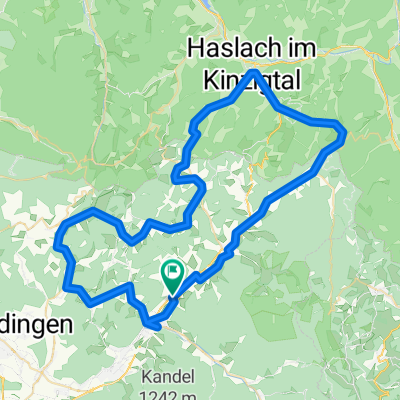
Simonswald-Kandel-Hinterzarten-Wildgutach
- 85.8 km
- 1,696 m
- 1,698 m
- Gutach im Breisgau, Baden-Wurttemberg, Germany
A cycling route starting in Gutach im Breisgau, Baden-Wurttemberg, Germany.
Overview
Simonswald-Kandel-Hinterzarten-Wildgutach
created this 8 years ago
Route quality
Track
16.3 km
(19 %)
Path
14.6 km
(17 %)
Paved
60.9 km
(71 %)
Unpaved
18 km
(21 %)
Asphalt
58.4 km
(68 %)
Gravel
7.7 km
(9 %)
Continue with Bikemap
You would like to ride Simonswald-Kandel-Hinterzarten-Wildgutach or customize it for your own trip? Here is what you can do with this Bikemap route:
Free trial for 3 days, or one-time payment. More about Bikemap Premium.
Discover more Premium features.
Get Bikemap PremiumFrom our community
Open it in the app