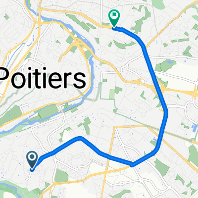
Rue des Potagers, Poitiers à Place de Provence, Poitiers
- 6 km
- 50 m
- 36 m
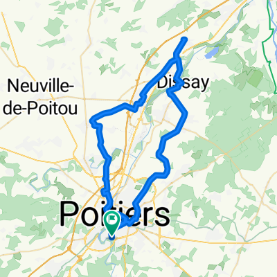
- Saint-Benoît, Nouvelle-Aquitaine, France
A cycling route starting in Saint-Benoît, Nouvelle-Aquitaine, France.
Overview
created this 8 years ago
Route quality
Road
102 km
(64 %)
Quiet road
12.7 km
(8 %)
Paved
12.7 km
(8 %)
Asphalt
12.7 km
(8 %)
Undefined
146.6 km
(92 %)
Route highlights
Repas
Continue with Bikemap
You would like to ride Randonnée du 15 Avril 2017 or customize it for your own trip? Here is what you can do with this Bikemap route:
Free trial for 3 days, or one-time payment. More about Bikemap Premium.
Discover more Premium features.
Get Bikemap PremiumFrom our community
Open it in the app