por el filo
- 3.8 km
- 92 m
- 126 m
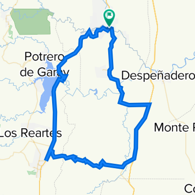
- Alta Gracia, Cordoba Province, Argentina
A cycling route starting in Alta Gracia, Cordoba Province, Argentina.
Overview
Giulio Cesare
Camino de los Túneles
Valle de la Luna
Talampaya
Cuesta de Miranda
Chilecito
created this 8 years ago
Route highlights
Descenso Giulio Cesare
descenso Camino de los Túnels
Parque Nacional Valle de la Luna
Parque Nacional Talampaya
Descenso Cuesta de Miranda
Chilecito
Continue with Bikemap
You would like to ride Patan Bikers or customize it for your own trip? Here is what you can do with this Bikemap route:
Free trial for 3 days, or one-time payment. More about Bikemap Premium.
Discover more Premium features.
Get Bikemap PremiumFrom our community
Open it in the app