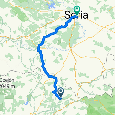
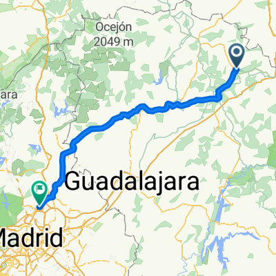
Tajo Celtibero
A cycling route starting in Siguenza, Castille-La Mancha, Spain.
Overview
About this route
Una ruta que nos transportará a otros tiempos, entrecuzándonos con el Tajo por tierras de Sigüenza y Molina.
Tierras de iglesias románicas como la de Jodra del Pinar, castillos, como el de Arbeteta y castros celtiberos como el de El Ceremeño.
Naturaleza impresionante: karst, páramos, bosques, sierras, ríos ...
- -:--
- Duration
- 227.9 km
- Distance
- 1,497 m
- Ascent
- 1,500 m
- Descent
- ---
- Avg. speed
- ---
- Avg. speed
Route quality
Waytypes & surfaces along the route
Waytypes
Busy road
111.6 km
(49 %)
Road
99.6 km
(44 %)
Surfaces
Paved
80 km
(35 %)
Unpaved
1.7 km
(<1 %)
Asphalt
79.9 km
(35 %)
Gravel
1.7 km
(<1 %)
Continue with Bikemap
Use, edit, or download this cycling route
You would like to ride Tajo Celtibero or customize it for your own trip? Here is what you can do with this Bikemap route:
Free features
- Save this route as favorite or in collections
- Copy & plan your own version of this route
- Sync your route with Garmin or Wahoo
Premium features
Free trial for 3 days, or one-time payment. More about Bikemap Premium.
- Navigate this route on iOS & Android
- Export a GPX / KML file of this route
- Create your custom printout (try it for free)
- Download this route for offline navigation
Discover more Premium features.
Get Bikemap PremiumFrom our community
Other popular routes starting in Siguenza
- Tajo Celtibero
- Distance
- 227.9 km
- Ascent
- 1,497 m
- Descent
- 1,500 m
- Location
- Siguenza, Castille-La Mancha, Spain
- Zum See
- Distance
- 54.6 km
- Ascent
- 750 m
- Descent
- 482 m
- Location
- Siguenza, Castille-La Mancha, Spain
- Day 20
- Distance
- 100.6 km
- Ascent
- 834 m
- Descent
- 841 m
- Location
- Siguenza, Castille-La Mancha, Spain
- Sigüenza - Valle del río Salado - Sigüenza
- Distance
- 50.5 km
- Ascent
- 513 m
- Descent
- 514 m
- Location
- Siguenza, Castille-La Mancha, Spain
- Nuevalos
- Distance
- 97.4 km
- Ascent
- 1,564 m
- Descent
- 1,849 m
- Location
- Siguenza, Castille-La Mancha, Spain
- 2009 9. Etappe Tour Vire - Sanse
- Distance
- 128.2 km
- Ascent
- 592 m
- Descent
- 937 m
- Location
- Siguenza, Castille-La Mancha, Spain
- 5ª Sigüenza-Priego
- Distance
- 107.9 km
- Ascent
- 1,130 m
- Descent
- 1,134 m
- Location
- Siguenza, Castille-La Mancha, Spain
- Sigüenza - Estriegana - Cubillas - Horna - Sigúenza
- Distance
- 38.9 km
- Ascent
- 302 m
- Descent
- 302 m
- Location
- Siguenza, Castille-La Mancha, Spain
Open it in the app