

Salteras-CCarboneros-CVerde Guadiamar-Salteras
A cycling route starting in Salteras, Andalusia, Spain.
Overview
About this route
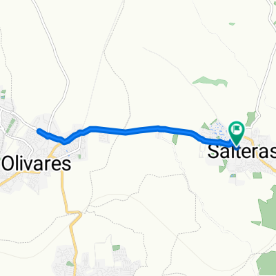
Route starting from Salteras via the Camino del Pozo to the Aljarafesa reservoir. We will descend and then ascend along the Camino de la Alberquilla parallel to La Alondra. Once there, we will descend the Camino de Heliche towards the Cordel de los Carboneros in search of the Guadiamar Green Corridor. We will follow it to Aznalcázar, passing through the Marlo pine forests until we reach Benacazón, where we will rejoin the Guadiamar Green Corridor on the other bank until the exit of Albaida, where there is an interesting climb to the town. From there, a bike lane leads back to Salteras passing through Olivares.
- -:--
- Duration
- 74.6 km
- Distance
- 385 m
- Ascent
- 385 m
- Descent
- ---
- Avg. speed
- ---
- Max. altitude

Route quality
Waytypes & surfaces along the route
Waytypes
Track
58.9 km
(79 %)
Quiet road
7.5 km
(10 %)
Surfaces
Paved
5.2 km
(7 %)
Unpaved
57.4 km
(77 %)
Ground
35.8 km
(48 %)
Gravel
9.7 km
(13 %)
Continue with Bikemap
Use, edit, or download this cycling route
You would like to ride Salteras-CCarboneros-CVerde Guadiamar-Salteras or customize it for your own trip? Here is what you can do with this Bikemap route:
Free features
- Save this route as favorite or in collections
- Copy & plan your own version of this route
- Sync your route with Garmin or Wahoo
Premium features
Free trial for 3 days, or one-time payment. More about Bikemap Premium.
- Navigate this route on iOS & Android
- Export a GPX / KML file of this route
- Create your custom printout (try it for free)
- Download this route for offline navigation
Discover more Premium features.
Get Bikemap PremiumFrom our community
Other popular routes starting in Salteras
 salteras-salteras
- Distance
- 0.2 km
- Ascent
- 21 m
- Descent
- 0 m
- Location
- Salteras, Andalusia, Spain
 Paseo rápido en Salteras
- Distance
- 17.3 km
- Ascent
- 199 m
- Descent
- 164 m
- Location
- Salteras, Andalusia, Spain
 BTT Pesula 24-5-13
- Distance
- 47.2 km
- Ascent
- 342 m
- Descent
- 339 m
- Location
- Salteras, Andalusia, Spain
 slasl-asda
- Distance
- 175.8 km
- Ascent
- 397 m
- Descent
- 369 m
- Location
- Salteras, Andalusia, Spain
 recorrido saltera 1
- Distance
- 9.4 km
- Ascent
- 109 m
- Descent
- 134 m
- Location
- Salteras, Andalusia, Spain
 20-6-13
- Distance
- 25.7 km
- Ascent
- 227 m
- Descent
- 227 m
- Location
- Salteras, Andalusia, Spain
 Salteras-El Castillo de las Guardas-Salteras
- Distance
- 107 km
- Ascent
- 731 m
- Descent
- 731 m
- Location
- Salteras, Andalusia, Spain
 De Calle Colón a Calle Colón
- Distance
- 8.8 km
- Ascent
- 77 m
- Descent
- 76 m
- Location
- Salteras, Andalusia, Spain
Open it in the app