

Partie 2 : 10j 49km/j
A cycling route starting in Kamigyō-ku, Kyoto, Japan.
Overview
About this route
- -:--
- Duration
- 501.4 km
- Distance
- 1,473 m
- Ascent
- 1,537 m
- Descent
- ---
- Avg. speed
- ---
- Max. altitude

Route quality
Waytypes & surfaces along the route
Waytypes
Quiet road
230.6 km
(46 %)
Road
155.4 km
(31 %)
Surfaces
Paved
145.4 km
(29 %)
Paved (undefined)
105.3 km
(21 %)
Asphalt
40.1 km
(8 %)
Undefined
356 km
(71 %)
Route highlights
Points of interest along the route
Point of interest after 50.1 km
camping sauvage
Point of interest after 102 km
camping sauvage
Point of interest after 170.4 km
camping gratuit 0564236250, lit de la rivière Yahagi
Point of interest after 231.5 km
camping lac hamana, Nagisaen camping ground:0535921525, 410y/person
Point of interest after 268.7 km
camping sauvage parc ou en face mont Oyasayama
Point of interest after 318.2 km
camping sauvage
Point of interest after 368.2 km
camping sauvage
Point of interest after 408.7 km
camping kanagawa ashinoko entre 1000y et 2000y/person : 0460848279
Point of interest after 452.8 km
camping yanagashima camping : 0467871385, 2500y/person, bord de mer
Continue with Bikemap
Use, edit, or download this cycling route
You would like to ride Partie 2 : 10j 49km/j or customize it for your own trip? Here is what you can do with this Bikemap route:
Free features
- Save this route as favorite or in collections
- Copy & plan your own version of this route
- Split it into stages to create a multi-day tour
- Sync your route with Garmin or Wahoo
Premium features
Free trial for 3 days, or one-time payment. More about Bikemap Premium.
- Navigate this route on iOS & Android
- Export a GPX / KML file of this route
- Create your custom printout (try it for free)
- Download this route for offline navigation
Discover more Premium features.
Get Bikemap PremiumFrom our community
Other popular routes starting in Kamigyō-ku
 北白川追分町, 京都市左京区 to 東丸太町18-1, 京都市左京区
- Distance
- 18.1 km
- Ascent
- 539 m
- Descent
- 560 m
- Location
- Kamigyō-ku, Kyoto, Japan
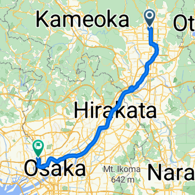
 kyoto to osaka
- Distance
- 50.7 km
- Ascent
- 144 m
- Descent
- 232 m
- Location
- Kamigyō-ku, Kyoto, Japan
 17−17, Kyoto to 7−48, Obama
- Distance
- 85 km
- Ascent
- 1,077 m
- Descent
- 1,183 m
- Location
- Kamigyō-ku, Kyoto, Japan
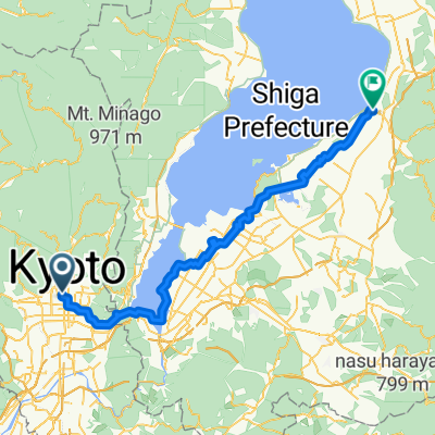 Kamigyō-ku - Hikone
- Distance
- 80.6 km
- Ascent
- 433 m
- Descent
- 410 m
- Location
- Kamigyō-ku, Kyoto, Japan
 Partie 2 : 10j 49km/j
- Distance
- 501.4 km
- Ascent
- 1,473 m
- Descent
- 1,537 m
- Location
- Kamigyō-ku, Kyoto, Japan
 Route in Osaka
- Distance
- 57.6 km
- Ascent
- 187 m
- Descent
- 249 m
- Location
- Kamigyō-ku, Kyoto, Japan
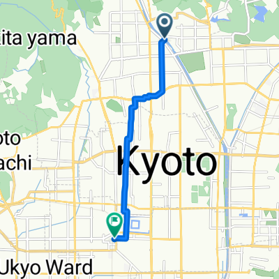 亀岡行き 二条駅迄
- Distance
- 6.2 km
- Ascent
- 0 m
- Descent
- 42 m
- Location
- Kamigyō-ku, Kyoto, Japan
 Projet Japon 2014 : Kyoto - Hiroshima
- Distance
- 626.6 km
- Ascent
- 1,992 m
- Descent
- 2,045 m
- Location
- Kamigyō-ku, Kyoto, Japan
Open it in the app