Weißenth_Mayen_Bassenheim-Rundtour
- 57.9 km
- 370 m
- 370 m
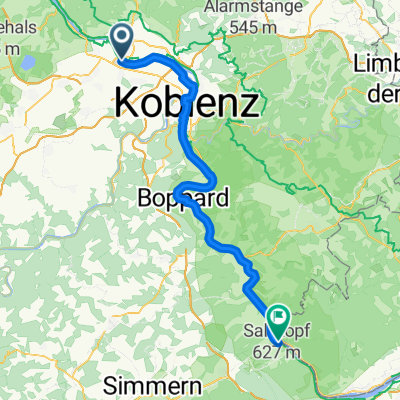
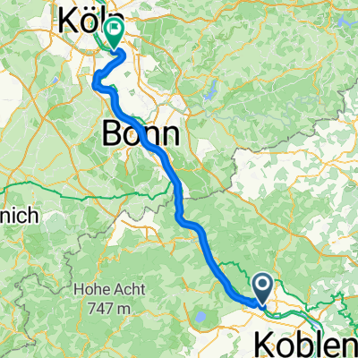
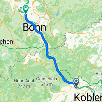
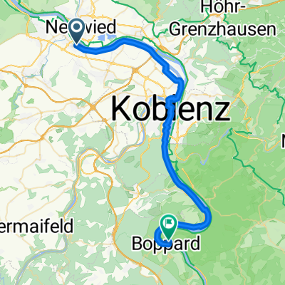
- Weißenthurm, Rhineland-Palatinate, Germany
A cycling route starting in Weißenthurm, Rhineland-Palatinate, Germany.
Overview
created this 8 years ago
Route quality
Track
17.7 km
(17 %)
Quiet road
6.3 km
(6 %)
Paved
83.4 km
(80 %)
Unpaved
6.3 km
(6 %)
Asphalt
77.2 km
(74 %)
Paved (undefined)
6.3 km
(6 %)
Continue with Bikemap
You would like to ride Traktor or customize it for your own trip? Here is what you can do with this Bikemap route:
Free trial for 3 days, or one-time payment. More about Bikemap Premium.
Discover more Premium features.
Get Bikemap PremiumFrom our community
Open it in the app