

Dia 1 - Atibaia - São Francisco Xavier
A cycling route starting in Atibaia, São Paulo, Brazil.
Overview
About this route
Atibaia - Cachoeira dos Pretos 65 km
Cachoeira dos Pretos - São Francisco Xavier 35 km
- -:--
- Duration
- 99.9 km
- Distance
- 1,083 m
- Ascent
- 1,087 m
- Descent
- ---
- Avg. speed
- ---
- Max. altitude
Route quality
Waytypes & surfaces along the route
Waytypes
Quiet road
42.9 km
(43 %)
Road
27 km
(27 %)
Undefined
30 km
(30 %)
Surfaces
Paved
51.9 km
(52 %)
Unpaved
45.9 km
(46 %)
Asphalt
50.9 km
(51 %)
Unpaved (undefined)
35 km
(35 %)
Route highlights
Points of interest along the route
Drinking water after 62.3 km
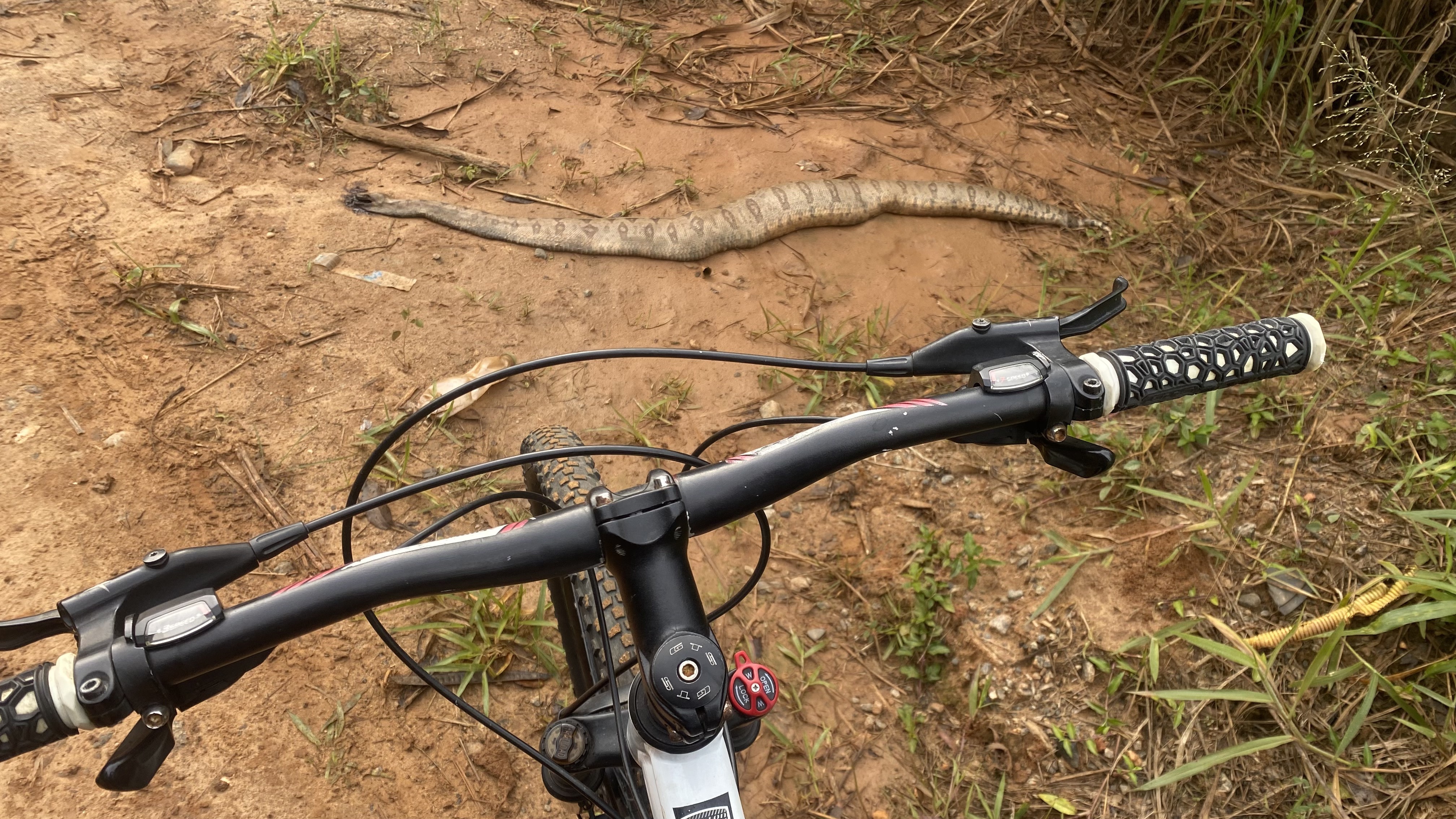
Fudeu!!
Continue with Bikemap
Use, edit, or download this cycling route
You would like to ride Dia 1 - Atibaia - São Francisco Xavier or customize it for your own trip? Here is what you can do with this Bikemap route:
Free features
- Save this route as favorite or in collections
- Copy & plan your own version of this route
- Split it into stages to create a multi-day tour
- Sync your route with Garmin or Wahoo
Premium features
Free trial for 3 days, or one-time payment. More about Bikemap Premium.
- Navigate this route on iOS & Android
- Export a GPX / KML file of this route
- Create your custom printout (try it for free)
- Download this route for offline navigation
Discover more Premium features.
Get Bikemap PremiumFrom our community
Other popular routes starting in Atibaia
 Rua Coronel Olegário Barreto 2437 to Estrada Municipal PRC-040
- Distance
- 17.9 km
- Ascent
- 119 m
- Descent
- 109 m
- Location
- Atibaia, São Paulo, Brazil
 Dia 1 - Atibaia - São Francisco Xavier
- Distance
- 99.9 km
- Ascent
- 1,083 m
- Descent
- 1,087 m
- Location
- Atibaia, São Paulo, Brazil
 Avenida Cinamomos, Atibaia a Avenida Prof Carlos Alberto Carvalho Pinto, Atibaia
- Distance
- 31.3 km
- Ascent
- 516 m
- Descent
- 526 m
- Location
- Atibaia, São Paulo, Brazil
 De Rua João Paulino dos Santos 210 a Rua João Paulino dos Santos 210
- Distance
- 29 km
- Ascent
- 198 m
- Descent
- 195 m
- Location
- Atibaia, São Paulo, Brazil
 Primeiro pedal
- Distance
- 11.8 km
- Ascent
- 202 m
- Descent
- 202 m
- Location
- Atibaia, São Paulo, Brazil
 primeiro pedal
- Distance
- 5.6 km
- Ascent
- 171 m
- Descent
- 170 m
- Location
- Atibaia, São Paulo, Brazil
 Restful route in Atibaia
- Distance
- 13.9 km
- Ascent
- 541 m
- Descent
- 541 m
- Location
- Atibaia, São Paulo, Brazil
 De Rua João Paulino dos Santos 210 a Rua João Paulino dos Santos 210
- Distance
- 35 km
- Ascent
- 483 m
- Descent
- 483 m
- Location
- Atibaia, São Paulo, Brazil
Open it in the app