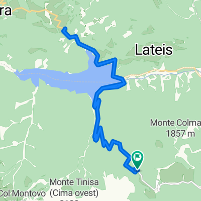
Friuli 2017 - 2^ tappa
A cycling route starting in Ampezzo, Friuli Venezia Giulia, Italy.
Overview
About this route
Ampezzo - Tolmezzo
con il Monte Crostis
- -:--
- Duration
- 82.3 km
- Distance
- 1,600 m
- Ascent
- 1,836 m
- Descent
- ---
- Avg. speed
- ---
- Max. altitude
Continue with Bikemap
Use, edit, or download this cycling route
You would like to ride Friuli 2017 - 2^ tappa or customize it for your own trip? Here is what you can do with this Bikemap route:
Free features
- Save this route as favorite or in collections
- Copy & plan your own version of this route
- Split it into stages to create a multi-day tour
- Sync your route with Garmin or Wahoo
Premium features
Free trial for 3 days, or one-time payment. More about Bikemap Premium.
- Navigate this route on iOS & Android
- Export a GPX / KML file of this route
- Create your custom printout (try it for free)
- Download this route for offline navigation
Discover more Premium features.
Get Bikemap PremiumFrom our community
Other popular routes starting in Ampezzo
- Ampezzo - Ai Pioppi
- Distance
- 45.6 km
- Ascent
- 185 m
- Descent
- 518 m
- Location
- Ampezzo, Friuli Venezia Giulia, Italy
- BGD-VNZ: 08 Passo del Pura - Lido di Jesolo (222 **)
- Distance
- 159.7 km
- Ascent
- 780 m
- Descent
- 2,194 m
- Location
- Ampezzo, Friuli Venezia Giulia, Italy
- #Friaul Ampezzo - Tramonti di Sopra - Tolmezzo
- Distance
- 86.9 km
- Ascent
- 1,774 m
- Descent
- 2,041 m
- Location
- Ampezzo, Friuli Venezia Giulia, Italy
- Rifugio TITA PIAZ - Sauris di Sotto
- Distance
- 20.5 km
- Ascent
- 707 m
- Descent
- 707 m
- Location
- Ampezzo, Friuli Venezia Giulia, Italy
- Friuli 2017 - 2^ tappa
- Distance
- 82.3 km
- Ascent
- 1,600 m
- Descent
- 1,836 m
- Location
- Ampezzo, Friuli Venezia Giulia, Italy
- Ampezzo-Paso Pura-Ovaro-Zoncolan-Ampezzo
- Distance
- 104 km
- Ascent
- 2,932 m
- Descent
- 2,939 m
- Location
- Ampezzo, Friuli Venezia Giulia, Italy
- Ampezzo - Lorenzago - Ampezzo
- Distance
- 94.9 km
- Ascent
- 2,349 m
- Descent
- 2,348 m
- Location
- Ampezzo, Friuli Venezia Giulia, Italy
- Sella di Rioda
- Distance
- 23.9 km
- Ascent
- 1,855 m
- Descent
- 623 m
- Location
- Ampezzo, Friuli Venezia Giulia, Italy
Open it in the app