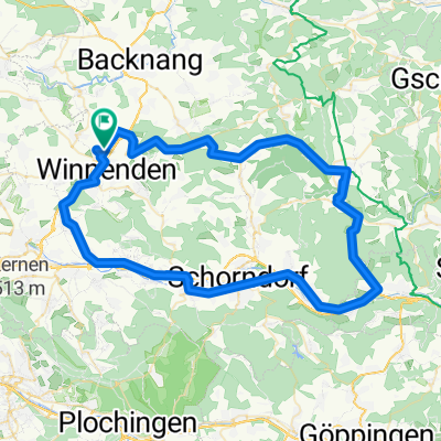

Leutenbach, Backnang, Waldrems, Hertmansweiler Leutenbach
- 19.4 km
- 148 m
- 150 m
- Leutenbach, Baden-Wurttemberg, Germany
A cycling route starting in Leutenbach, Baden-Wurttemberg, Germany.
Overview
decent ascent to the Korperkopf!
created this 17 years ago
Route quality
Track
10.3 km
(38 %)
Road
8.1 km
(30 %)
Paved
22.2 km
(82 %)
Unpaved
3.8 km
(14 %)
Asphalt
22.2 km
(82 %)
Gravel
3.5 km
(13 %)
Continue with Bikemap
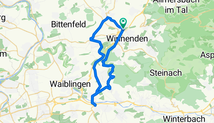
You would like to ride über Schwaikheim ins Geschäft - über Korperkopf zurück or customize it for your own trip? Here is what you can do with this Bikemap route:
Free trial for 3 days, or one-time payment. More about Bikemap Premium.
Discover more Premium features.
Get Bikemap PremiumFrom our community
Open it in the app