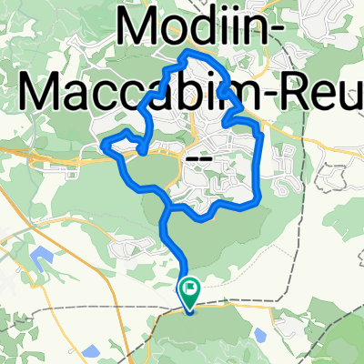
ריצה:במודיעין
- 16.3 km
- 365 m
- 374 m
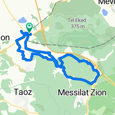
- Bayt Sīrā, West Bank, Palestine
A cycling route starting in Bayt Sīrā, West Bank, Palestine.
Overview
created this 8 years ago
Route quality
Path
5.5 km
(83 %)
Access road
0.6 km
(9 %)
Track
0.5 km
(8 %)
Paved
0.5 km
(8 %)
Unpaved
0.1 km
(2 %)
Asphalt
0.5 km
(8 %)
Gravel
0.1 km
(2 %)
Undefined
6 km
(90 %)
Route highlights
תל עקד
Continue with Bikemap
You would like to ride Canada or customize it for your own trip? Here is what you can do with this Bikemap route:
Free trial for 3 days, or one-time payment. More about Bikemap Premium.
Discover more Premium features.
Get Bikemap PremiumFrom our community
Open it in the app