

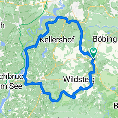
Loipe Rottenbuch Widsteig
A cycling route starting in Rottenbuch, Bavaria, Germany.
Overview
About this route
- -:--
- Duration
- 10.7 km
- Distance
- 184 m
- Ascent
- 180 m
- Descent
- ---
- Avg. speed
- ---
- Max. altitude

Continue with Bikemap
Use, edit, or download this cycling route
You would like to ride Loipe Rottenbuch Widsteig or customize it for your own trip? Here is what you can do with this Bikemap route:
Free features
- Save this route as favorite or in collections
- Copy & plan your own version of this route
- Sync your route with Garmin or Wahoo
Premium features
Free trial for 3 days, or one-time payment. More about Bikemap Premium.
- Navigate this route on iOS & Android
- Export a GPX / KML file of this route
- Create your custom printout (try it for free)
- Download this route for offline navigation
Discover more Premium features.
Get Bikemap PremiumFrom our community
Other popular routes starting in Rottenbuch
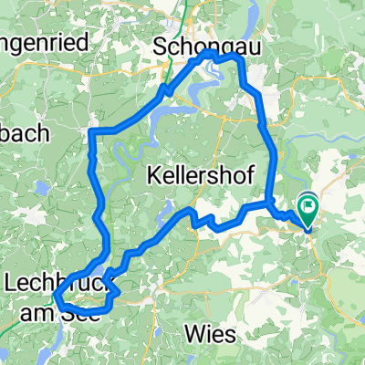 Rottenbuch-Lechbruck-Schongau-Peiting
- Distance
- 54.1 km
- Ascent
- 365 m
- Descent
- 368 m
- Location
- Rottenbuch, Bavaria, Germany
 Runde WiesUrspringKreutRB
- Distance
- 45.7 km
- Ascent
- 406 m
- Descent
- 406 m
- Location
- Rottenbuch, Bavaria, Germany
 Rottenbuch-Murnau-Schwaiganger
- Distance
- 30.7 km
- Ascent
- 304 m
- Descent
- 411 m
- Location
- Rottenbuch, Bavaria, Germany
 Hohenpeißenberg Runde Süd
- Distance
- 41.6 km
- Ascent
- 632 m
- Descent
- 628 m
- Location
- Rottenbuch, Bavaria, Germany
 rottenbuch-urspring-steingarden-wies-wildsteig-rottenbuch
- Distance
- 32.7 km
- Ascent
- 475 m
- Descent
- 475 m
- Location
- Rottenbuch, Bavaria, Germany
 Faks 2017 Rundfahrt 1
- Distance
- 66.5 km
- Ascent
- 327 m
- Descent
- 322 m
- Location
- Rottenbuch, Bavaria, Germany
 rottenbuch
- Distance
- 49.7 km
- Ascent
- 478 m
- Descent
- 478 m
- Location
- Rottenbuch, Bavaria, Germany
 Sonnenbichl-Weg Nr.93, Schönberg
- Distance
- 12 km
- Ascent
- 322 m
- Descent
- 322 m
- Location
- Rottenbuch, Bavaria, Germany
Open it in the app