

Handlová - Kremnica
A cycling route starting in Handlová, Nitra Region, Slovakia.
Overview
About this route
Length 42 km
Elevation gain 570 m
Handlová
Nám. baníkov, at the roundabout first right onto 29. augusta, smoothly continue onto Žiarska, Horný koniec (on the right side is Handlovský pond)
Nová Lehota (through the village), in the village first left back onto road E572, on the right side Lovčica - Trubín, Lutila
Žiar nad Hronom
SNP, left onto Partizánska, Stará Kremnička (option to go through the village), Bartošova Lehôtka (on the right side), through Dolná Ves turn right and at the first immediately left through the village, then return to road 65, through Hornú Ves (turn left and at the second right).
Kremnica
Jula Horvátha, right onto Dolnú, Nám. M. R. Štefánika
- -:--
- Duration
- 42.3 km
- Distance
- 546 m
- Ascent
- 417 m
- Descent
- ---
- Avg. speed
- ---
- Max. altitude

Route quality
Waytypes & surfaces along the route
Waytypes
Quiet road
6.8 km
(16 %)
Road
5.1 km
(12 %)
Surfaces
Paved
19.9 km
(47 %)
Unpaved
0.4 km
(1 %)
Asphalt
19.9 km
(47 %)
Gravel
0.4 km
(1 %)
Undefined
22 km
(52 %)
Continue with Bikemap
Use, edit, or download this cycling route
You would like to ride Handlová - Kremnica or customize it for your own trip? Here is what you can do with this Bikemap route:
Free features
- Save this route as favorite or in collections
- Copy & plan your own version of this route
- Sync your route with Garmin or Wahoo
Premium features
Free trial for 3 days, or one-time payment. More about Bikemap Premium.
- Navigate this route on iOS & Android
- Export a GPX / KML file of this route
- Create your custom printout (try it for free)
- Download this route for offline navigation
Discover more Premium features.
Get Bikemap PremiumFrom our community
Other popular routes starting in Handlová
 TR - Šturec
- Distance
- 13.1 km
- Ascent
- 612 m
- Descent
- 238 m
- Location
- Handlová, Nitra Region, Slovakia
 Z06 Zniev
- Distance
- 61 km
- Ascent
- 655 m
- Descent
- 782 m
- Location
- Handlová, Nitra Region, Slovakia
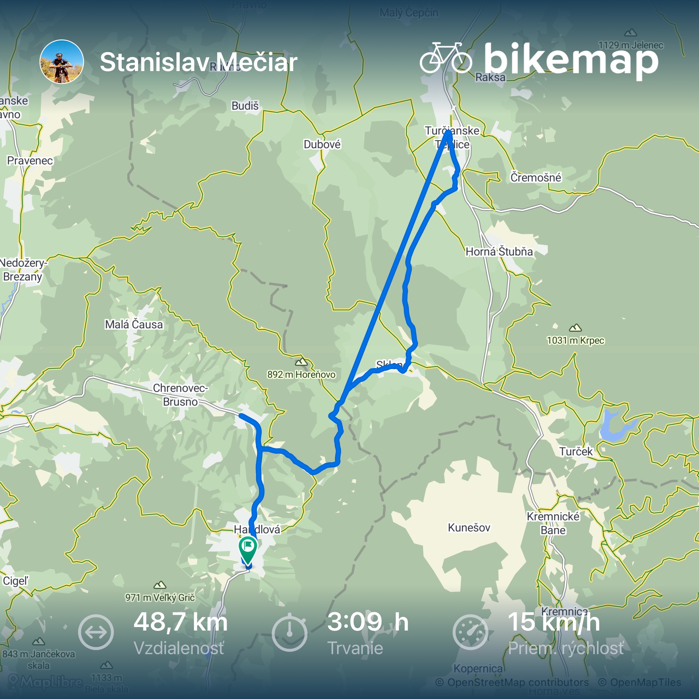 29. augusta, Handlová až 29. augusta, Handlová
- Distance
- 48.7 km
- Ascent
- 688 m
- Descent
- 688 m
- Location
- Handlová, Nitra Region, Slovakia
 drienok serus
- Distance
- 10.3 km
- Ascent
- 819 m
- Descent
- 61 m
- Location
- Handlová, Nitra Region, Slovakia
 Hřebenovka Nízké Tatry & Velká Fatra - Den 1. - Turčianské Teplice - Kralova studna (pěšky)
- Distance
- 57 km
- Ascent
- 2,414 m
- Descent
- 1,551 m
- Location
- Handlová, Nitra Region, Slovakia
 T.Teplice-G.dolina-Karlová-Dubové-T.Teplice
- Distance
- 50.1 km
- Ascent
- 301 m
- Descent
- 301 m
- Location
- Handlová, Nitra Region, Slovakia
 SNP 11 do SNP 11
- Distance
- 44.2 km
- Ascent
- 792 m
- Descent
- 793 m
- Location
- Handlová, Nitra Region, Slovakia
 Ráztočno - Nedožery-Brezany
- Distance
- 37.1 km
- Ascent
- 451 m
- Descent
- 464 m
- Location
- Handlová, Nitra Region, Slovakia
Open it in the app