Gallenberg
- 0.7 km
- 57 m
- 0 m
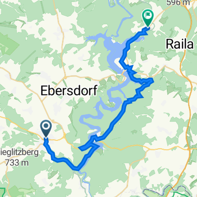
- Bad Lobenstein, Thuringia, Germany
A cycling route starting in Bad Lobenstein, Thuringia, Germany.
Overview
hilly all day / poorly signposted
created this 15 years ago
Route quality
Road
31.1 km
(20 %)
Path
17.1 km
(11 %)
Paved
104 km
(67 %)
Unpaved
9.3 km
(6 %)
Asphalt
102.5 km
(66 %)
Gravel
6.2 km
(4 %)
Continue with Bikemap
You would like to ride route 2 zum bodensee or customize it for your own trip? Here is what you can do with this Bikemap route:
Free trial for 3 days, or one-time payment. More about Bikemap Premium.
Discover more Premium features.
Get Bikemap PremiumFrom our community
Open it in the app