KOLPA day 1
A cycling route starting in Municipality of Kostel, Kostel, Slovenia.
Overview
About this route
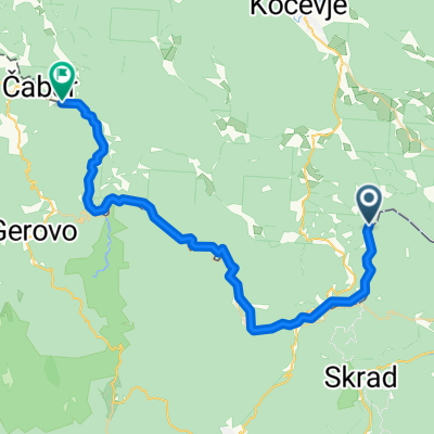
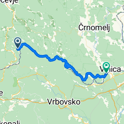
Spodnja Bilpa-Fara-Brod-Delnice-Gornje Jelenje-Osilnica-Strma reber-Kočevska reka-Livold-Stari trg-Spodnja Bilpa 156km, 2580vm
- -:--
- Duration
- 156 km
- Distance
- 1,874 m
- Ascent
- 1,845 m
- Descent
- ---
- Avg. speed
- ---
- Max. altitude
Route quality
Waytypes & surfaces along the route
Waytypes
Road
49.9 km
(32 %)
Quiet road
14 km
(9 %)
Surfaces
Paved
148.2 km
(95 %)
Asphalt
148.2 km
(95 %)
Undefined
7.8 km
(5 %)
Continue with Bikemap
Use, edit, or download this cycling route
You would like to ride KOLPA day 1 or customize it for your own trip? Here is what you can do with this Bikemap route:
Free features
- Save this route as favorite or in collections
- Copy & plan your own version of this route
- Split it into stages to create a multi-day tour
- Sync your route with Garmin or Wahoo
Premium features
Free trial for 3 days, or one-time payment. More about Bikemap Premium.
- Navigate this route on iOS & Android
- Export a GPX / KML file of this route
- Create your custom printout (try it for free)
- Download this route for offline navigation
Discover more Premium features.
Get Bikemap PremiumFrom our community
Other popular routes starting in Municipality of Kostel
Laganini opuštajuća vožnja po ravnom in Brod na Kupi- Distance
- 38.8 km
- Ascent
- 489 m
- Descent
- 490 m
- Location
- Municipality of Kostel, Kostel, Slovenia
Črnomelj - Njivice- Distance
- 71.4 km
- Ascent
- 2,069 m
- Descent
- 2,043 m
- Location
- Municipality of Kostel, Kostel, Slovenia
ob Kolpi (Fara-Predgrad)- Distance
- 53.6 km
- Ascent
- 512 m
- Descent
- 512 m
- Location
- Municipality of Kostel, Kostel, Slovenia
proba1- Distance
- 28.3 km
- Ascent
- 307 m
- Descent
- 230 m
- Location
- Municipality of Kostel, Kostel, Slovenia
KOLPA day 1- Distance
- 156 km
- Ascent
- 1,874 m
- Descent
- 1,845 m
- Location
- Municipality of Kostel, Kostel, Slovenia
Fara - Fara (FŠ)- Distance
- 21.5 km
- Ascent
- 562 m
- Descent
- 562 m
- Location
- Municipality of Kostel, Kostel, Slovenia
Municipality of Kostel - Osilnica- Distance
- 39.8 km
- Ascent
- 1,113 m
- Descent
- 858 m
- Location
- Municipality of Kostel, Kostel, Slovenia
Prelesje-Osilnica_Prelesje- Distance
- 91.3 km
- Ascent
- 1,430 m
- Descent
- 1,432 m
- Location
- Municipality of Kostel, Kostel, Slovenia
Open it in the app


