Almenroute
- 52.9 km
- 901 m
- 992 m
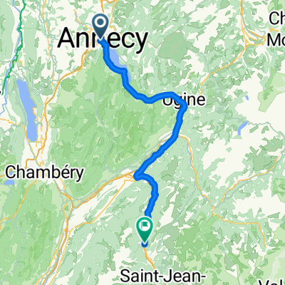
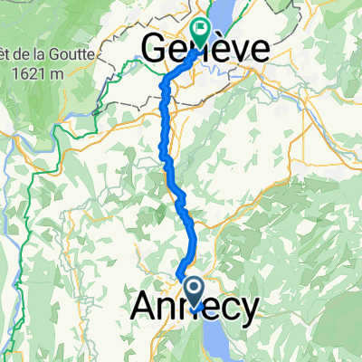
- Annecy, Auvergne-Rhône-Alpes, France
A cycling route starting in Annecy, Auvergne-Rhône-Alpes, France.
Overview
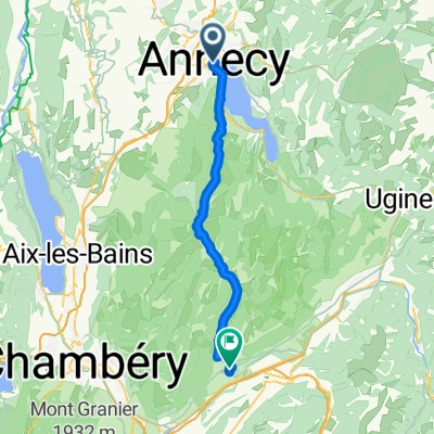
Great loop around Lake Annecy with Col de l'Épine added for a little extra climbing.
created this 8 years ago


Route quality
Road
31.4 km
(38 %)
Cycleway
29 km
(35 %)
Paved
59.6 km
(72 %)
Unpaved
0.8 km
(1 %)
Asphalt
59.6 km
(72 %)
Unpaved (undefined)
0.8 km
(1 %)
Undefined
22.3 km
(27 %)
Continue with Bikemap
You would like to ride Col de l'Epine and Col de la Forclaz or customize it for your own trip? Here is what you can do with this Bikemap route:
Free trial for 3 days, or one-time payment. More about Bikemap Premium.
Discover more Premium features.
Get Bikemap PremiumFrom our community
Open it in the app